I provide a free route map, but you can also download a hike/drive GPX to assist you and to help support my site. Before sharing my GPX tracks with others, please remember my site is a free resource and I'm charging nominal fees to offset my substantial costs.
GPX track added to your cart.
Mar 21, 2019 — A bunch of friends happened to be in town and all free the same day, so I took a break from being solo (yay friends!) to head down a canyon together. Navigate to this underpass (35.7151286,-115.3642429) and follow the dirt road southwest.
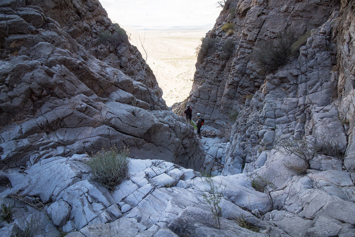
From the mouth of the main canyon where the road heads into, head up to some old mining equipment and a mine. Shortly after, a slope leads south up to a ridge leading west. It's Class 2+, but makes for quick access to higher ground. This ridge mellows out and you can see the head of Antenna Canyon below. You could continue up to Peak 5413 from here if that's your thing, or just drop into Antenna Canyon's head. A series of easy rappels leads through the canyon (most of which use cairn anchors). Antenna canyon doesn't have stretches of narrows as interesting as the other routes in the area that I've been through (like Desperado, for example), but does end at a really nice 180 sloping rappel. Continue through a wash and head north back to the car.
Please consider helping me out if you find my site useful. I'm not sponsored, so all site fees are out-of-pocket and my time preparing these trip reports is unpaid. You can also hire me as a web developer. I really appreciate it!


If you find my site helpful, please help me replace my many broken cameras, fund my website fees (hosting, APIs, security), or just support my countless hours of work. I pay for all expenses myself, and all trip reports I post are unpaid and unsponsored, so any support is really appreciated!
If using PayPal, please select their option for "Sending to a friend" so they don't take out fees, thank you.
My site is free to use, but consider sending me a few bucks to help keep it running. Thanks in advance!