I provide a free route map, but you can also download a hike/drive GPX to assist you and to help support my site. Before sharing my GPX tracks with others, please remember my site is a free resource and I'm charging nominal fees to offset my substantial costs.
GPX track added to your cart.
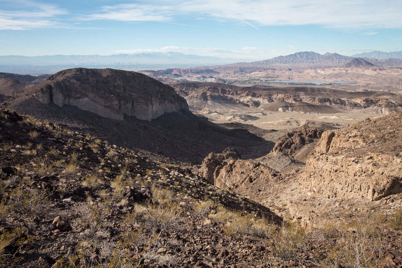
Dec 02, 2019 — White Owl Canyon is such a mini hike that I couldn't justify driving out to just check it out without adding a nice loop or peak into the mix. Long View Peak looms to the south, and seemed to fit perfectly. Austin and Tara joined me for yet another remote desert adventure because they're lovely and put up with my peakbagging silliness and persistent inability to properly calculate how many miles a route will be.
We started south on the paved road from the Cliffs Trailhead, which is generally used for sightseeing and for accessing White Owl Canyon. Our plan was to get White Owl Canyon on the way out. We entered the desert and followed a wash for a while, passing through a tunnel that goes under the paved and popular River Mountains Loop Trail. The wash continues generally southwest as it slowly becomes more hilly than wash-like. In hindsight, the wash to the east of our route might have been a cleaner route that followed a wash the whole time, but ours was fine. After a couple of uops and downs over hills, we dropped into a major wash that led us southwest along the slopes of Long View Peak's east slopes. Our major wash forked at a certain point, the left fork seeming to head south and away from the peak, so we took the right fork. This drainage was pretty minor and soon dissolved into a slope. We were met with a talus field of Class 2/2+, which got progressively more steep as we ascended to a minor saddle just west of Long View Peak. We bagged the peak and took in the really nice views. The summit register read that the peak was actually called Bighorn Butte, but it seems more common to call it Long View Peak. We decided we'd try to descend on the northwest slopes rather than return the way we came. The obvious drainage did the trick until we hit a 15-foot dryall, avoidable by keeping to the right and out of the drainage, and heading down on more Class 2 safely to the wash below.
Once down our chosen descent route, the wash waved northwest before heading northeast. There were no scrambling surprises - just an easy wash walk. We started getting hints of White Owl Canyon's fomations in the shape of conglomerate rock walls. We passed under two more tunnels (once under River Mountains Loop Trail, and then again for Lakeshore Road) before getting the full beauty of White Owl Canyon. It was short and sweet and a nice finale to the hike. A trail continued back to the trailhead.
Please consider helping me out if you find my site useful. I'm not sponsored, so all site fees are out-of-pocket and my time preparing these trip reports is unpaid. You can also hire me as a web developer. I really appreciate it!


If you find my site helpful, please help me replace my many broken cameras, fund my website fees (hosting, APIs, security), or just support my countless hours of work. I pay for all expenses myself, and all trip reports I post are unpaid and unsponsored, so any support is really appreciated!
If using PayPal, please select their option for "Sending to a friend" so they don't take out fees, thank you.
My site is free to use, but consider sending me a few bucks to help keep it running. Thanks in advance!