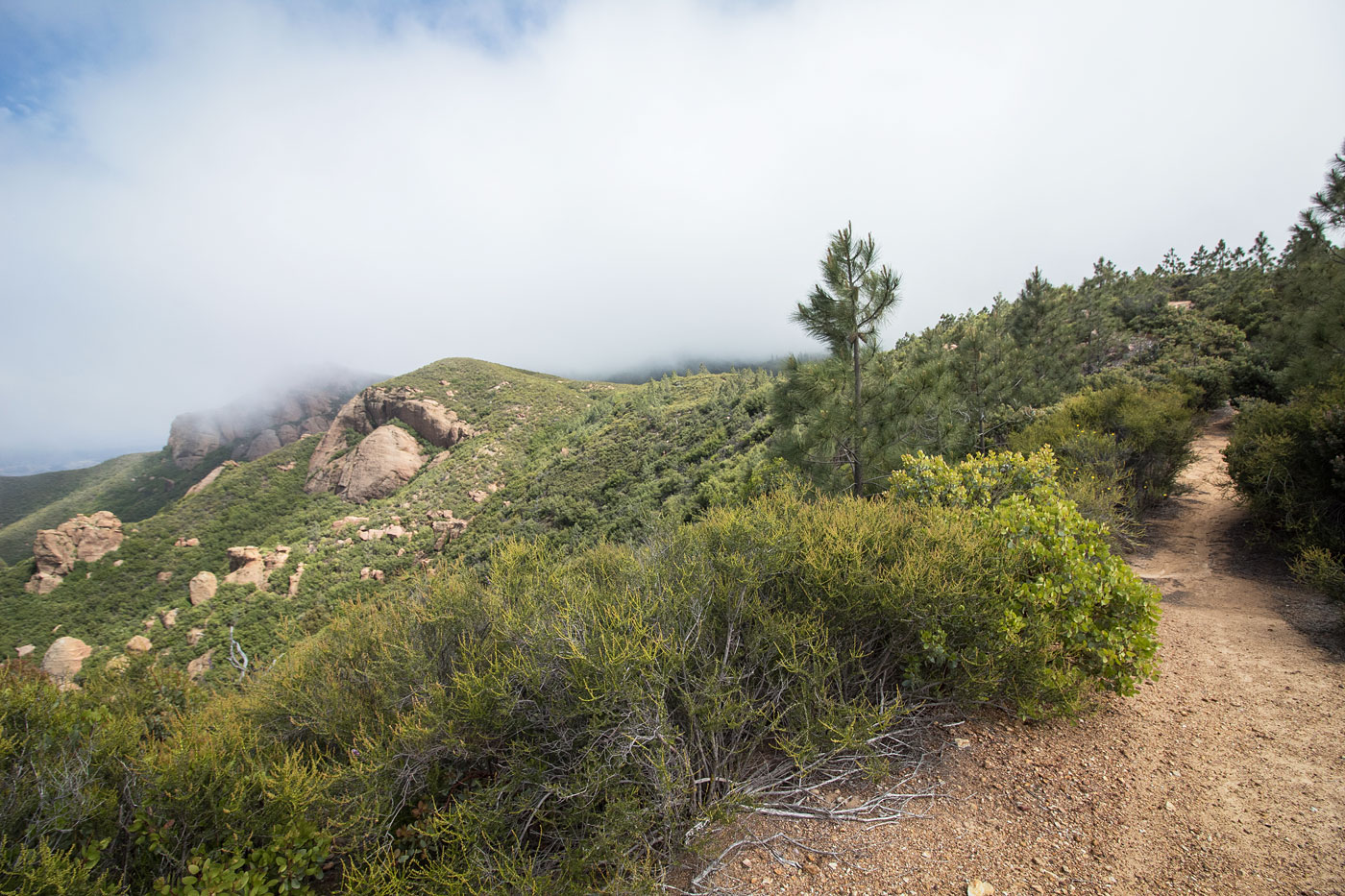
May 23, 2019 — The road to Machesna Mountain was in surprisingly good shape (not good for 2WD), which is good because my car somehow lost a screw and rattled the whole way. I shrugged it off like the irresponsible child I am and continued to the trailhead. Unfortunately, I was hit with a wall of fog so my photos may not be particularly helpful, but I thought the somewhat poor weather added a nice mysterious touch to the hike. Otherwise, it might have been just a walk along a green SoCal ridge. Either way, I'm sure it's a lovely area. The Machesna Mountain Trail is bit odd. It shows up on Google as a road, but alternates between a wide trail, a thin and grassy trail, and a very eroded road. There were only a couple of brushy spots, but it was easy to follow and undulates along the ridge for a few miles. One area to note is toward the end when I encountered a bunch of signs pointing in all sorts of unhelpful directions. The trail leads down to a small pond, and then back up to the ridge. I left my alternative route (see map), but it was overgrown despite being the route displayed as a road on Google Maps, and not particularly interesting. Eventually after a bit more uphill, I left the trail and a rusted marker and headed west through not unpleasant bushwhacking to the summit.
Please consider helping me out if you find my site useful. I'm not sponsored, so all site fees are out-of-pocket and my time preparing these trip reports is unpaid. You can also hire me as a web developer. I really appreciate it!


If you find my site helpful, please help me replace my many broken cameras, fund my website fees (hosting, APIs, security), or just support my countless hours of work. I pay for all expenses myself, and all trip reports I post are unpaid and unsponsored, so any support is really appreciated!
If using PayPal, please select their option for "Sending to a friend" so they don't take out fees, thank you.
My site is free to use, but consider sending me a few bucks to help keep it running. Thanks in advance!