I provide a free route map, but you can also download a hike/drive GPX to assist you and to help support my site. Before sharing my GPX tracks with others, please remember my site is a free resource and I'm charging nominal fees to offset my substantial costs.
GPX track added to your cart.
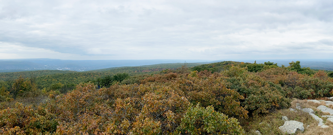
Jul 07, 2020 — As a New Jersey native, I probably should have been to the high point earlier than this, but it always felt like such a long drive for such a small hike. It was indeed, but I had a few hours to kill and wanted to tick this one off my to-do list. You can also drive to the summit if that's your thing.
I followed the Appalachian Trail starting at a pull-off on Greenville Road and ascended to a minor ridge that led along a mostly flat trail for a while. I crossed a small creek and ascended on a rocky trail to a junction with the Monument/Shawangunk Trail. I took a right here and crossed the drive-up road, continuing along the trail to the summit. An absolutely overkill phallic monument sits atop the high point of NJ. Unfortuantely I had no views due to fog.
Please consider helping me out if you find my site useful. I'm not sponsored, so all site fees are out-of-pocket and my time preparing these trip reports is unpaid. You can also hire me as a web developer. I really appreciate it!


If you find my site helpful, please help me replace my many broken cameras, fund my website fees (hosting, APIs, security), or just support my countless hours of work. I pay for all expenses myself, and all trip reports I post are unpaid and unsponsored, so any support is really appreciated!
If using PayPal, please select their option for "Sending to a friend" so they don't take out fees, thank you.
My site is free to use, but consider sending me a few bucks to help keep it running. Thanks in advance!