I provide a free route map, but you can also download a hike/drive GPX to assist you and to help support my site. Before sharing my GPX tracks with others, please remember my site is a free resource and I'm charging nominal fees to offset my substantial costs.
GPX track added to your cart.
Nov 13, 2019 — Newman Peak sits on the north side of I-10 and is passed by everyone en route between Tucson and Phoenix, AZ. It's less iconic than the very popular Picacho Peak just to the south, but probably about as much fun. Plus, it's free and there likely won't be anyone out there.
We decided to come in from the west, following E Milligan Road to Citrus Heights Drive. If you go too far on E Milligan, you'll hit a No Trespassing sign. We followed Citrus Heights Drive south until encountering a couple of gates to bypass the irrigation canal, without any of the unwelcoming signs. We continued southeast on a decent dirt road and parked a few hundred feet from the canal. We followed a poor dirt road by foot and crossed over a bridge on the canal where we located the remains of an very old road on the opposite side. We made a cairn since it wasn't obvious where this road started. The road winds a little before heading into the major drainage that comes west from Newman Peak.
At a certain point, the old road deteriorates enough that we lost it completely, and ample cairns mark at least two routes through the bouldery drainage. We stumbled onto a very old trail that was apparently used a long time ago to ascend Newman Peak (maybe for workers for the summit radio towers?) but has long been abandoned. We didn't find it on the way up, so I only included my descend route on the attached map. We did a lot more boulder-hopping on the ascent, but definitely don't expect the old trail to be obvious, nor well-maintained. It's more of a guide than anything else.
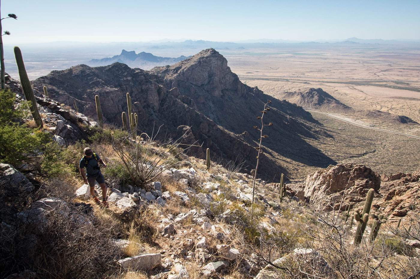
The trail leads deeper into the main drainage and then more clearly continues up one of the lesser drainages before switchbacks lead through a Class 2 gully. The gully ends at some nice views to the south before the final push on switchbacks up the west slope to the Newman Peak summit. The views aren't particularly interesting, but the route up was definitely some steep boulder-hopping exercise fun.
Please consider helping me out if you find my site useful. I'm not sponsored, so all site fees are out-of-pocket and my time preparing these trip reports is unpaid. You can also hire me as a web developer. I really appreciate it!


If you find my site helpful, please help me replace my many broken cameras, fund my website fees (hosting, APIs, security), or just support my countless hours of work. I pay for all expenses myself, and all trip reports I post are unpaid and unsponsored, so any support is really appreciated!
If using PayPal, please select their option for "Sending to a friend" so they don't take out fees, thank you.
My site is free to use, but consider sending me a few bucks to help keep it running. Thanks in advance!