I provide a free route map, but you can also download a hike/drive GPX to assist you and to help support my site. Before sharing my GPX tracks with others, please remember my site is a free resource and I'm charging nominal fees to offset my substantial costs.
GPX track added to your cart.
Jun 17, 2020 — This route is a bit of a contrived one, my goal being to hike a few peaks in the area rather than doing an out-and-back of part of the Appalachian Trail. My hike summits Rocky Mountain, Tray Mountain, and Brier Creek Bald. If you're just looking to hike the peaks with minimal walking *scoff*, you can skip most of the walk on this one and drive along Tray Mountain Road. I came in from Indian Grave Road (turn off at 34.8252679,-83.7332321) and parked at Indian Grave Gap (my attached trailhead coordinates). Alternatively, you could just park off Highway 75 at 34.8014543,-83.7429224 and ascend up and over Rocky Mountain, but then you'd have to go up and over it again on the way back.
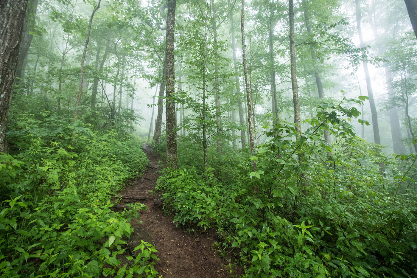
First I headed west along the Appalachian Trail up to Rocky Mountain, which would have a couple of nice views along the way if it wasn't foggy, but the summit was forested and wouldn't have views regardless of the weather.
Back at the trailhead, I continued across the road along the Appalachian Trail, crossing over Tray Mountain Road twice before starting the ascent up to Tray Mountain. I thought it was overall a pretty and lush section of the Appalachian Trail, but with nothing particularly notable except a small view. It's also kind of always a bummer for that "remoteness" feel to know there's a road a few hundred feet away, even if it's out of sight. The trail up to Tray Mountain added some exercise, and I made a minor detour past the summit to get Tray Mountain - Southeast Peak. Fog made for no views for me.
Back at the base of Tray Mountain, I followed Corbin Creek Road (which could have been driven, if that's your thing) to a fork. The left fork was a heavily degraded road, which I followed until its end. A mostly reasonable bushwhack led for less than a quarter mile to the summit of Brier Creek Bald. It was forested and probably not worth the effort, but I was feeling excited for peaks and it was close enough to justify going for it.
Please consider helping me out if you find my site useful. I'm not sponsored, so all site fees are out-of-pocket and my time preparing these trip reports is unpaid. You can also hire me as a web developer. I really appreciate it!


If you find my site helpful, please help me replace my many broken cameras, fund my website fees (hosting, APIs, security), or just support my countless hours of work. I pay for all expenses myself, and all trip reports I post are unpaid and unsponsored, so any support is really appreciated!
If using PayPal, please select their option for "Sending to a friend" so they don't take out fees, thank you.
My site is free to use, but consider sending me a few bucks to help keep it running. Thanks in advance!