I provide a free route map, but you can also download a hike/drive GPX to assist you and to help support my site. Before sharing my GPX tracks with others, please remember my site is a free resource and I'm charging nominal fees to offset my substantial costs.
GPX track added to your cart.
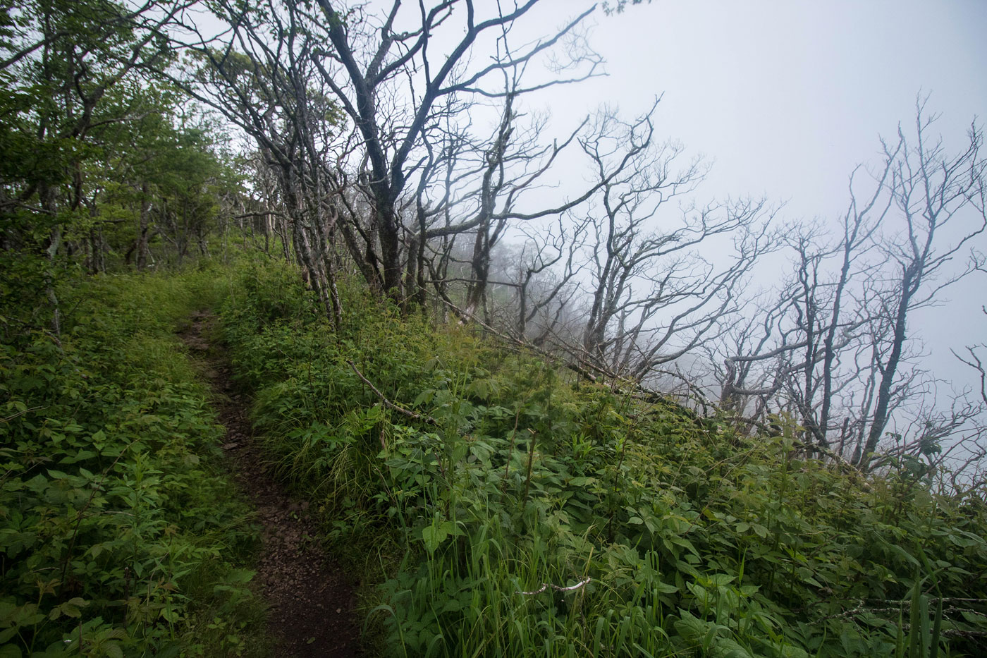
Jun 17, 2020 — Initially I wanted to do an epic loop that would follow the entire ridgeline leading along the Appalachian Trail from Yellow Bald to Standing Indian, but the poor weather made me think twice about this 25+ mile day. Instead, I took the standard route up to Standing Indian, starting from Deep Gap. I'll check out that loop another time - it looks like a good one.
From the Deep Gap Trailhead (gravel, accessible by any car), I headed along the Appalachian Trail through pretty forest with some obscured views and easy switchbacks. The last half mile had a section that followed the ridgeline and would have some nice views on a less foggy day. The summit requires taking a short detour from the Appalachian Trail on a spur trail to get there.
Please consider helping me out if you find my site useful. I'm not sponsored, so all site fees are out-of-pocket and my time preparing these trip reports is unpaid. You can also hire me as a web developer. I really appreciate it!


If you find my site helpful, please help me replace my many broken cameras, fund my website fees (hosting, APIs, security), or just support my countless hours of work. I pay for all expenses myself, and all trip reports I post are unpaid and unsponsored, so any support is really appreciated!
If using PayPal, please select their option for "Sending to a friend" so they don't take out fees, thank you.
My site is free to use, but consider sending me a few bucks to help keep it running. Thanks in advance!