

Arrow Canyon Range High Point to the left of the saddle (pictured center). I won't say I crossed this fence to avoid a big roundabout awful drive to the powerlines you can see in the center...
Approaching the gully to the south of Arrow Canyon Range High Point.
Looking back down the gully.
At the saddle, looking north toward Arrow Canyon Range High Point.
Heading up toward Arrow Canyon Range High Point, looking south toward Arrow Canyon Range South Peak.
Class 2 scramble ahead.
Route wraps around to the left.
Loose Class 2.
Looking back from below the false summit.
Approaching the false summit of Arrow Canyon Range High Point.
False summit, looking north toward the true summit of the high point, and the ridgeline to come.
Arrow Canyon Range High Point summit ahead.
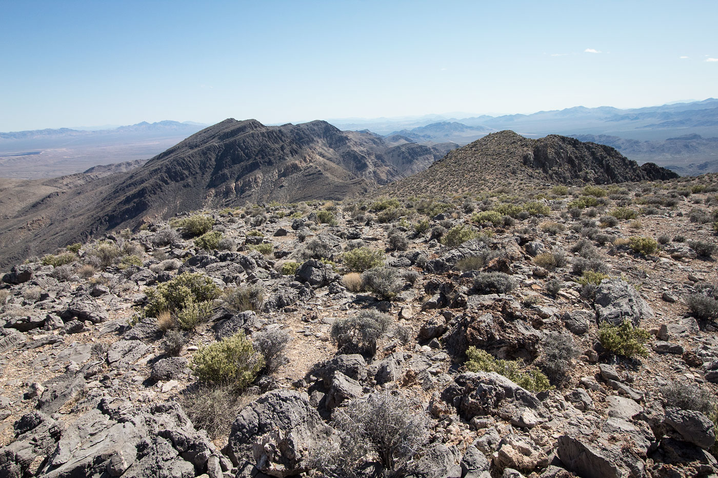
Arrow Canyon Range High Point summit, looking south.
Heading across the Class 3 scramble to Arrow Peak.
Obstacles along the way. I kept to the right of this one, since I wasn't sure how rough it would be on the other wise. However, once I got around it, I regretted not doing the scramble. I recommend going for it if you're comfortable.
Approaching a Class 3 section.
Looking down the Class 3 limestone stuff.
Arrow Peak ahead.
Looking south along the ridgeline.
Approaching Arrow Peak, some more Class 2/3 ahead.
Class 3 section below the summit of Arrow Peak, view looking south.
Arrow Peak summit.
Arrow Peak summit, looking south along the ridge.
Continuing north rather than backtracking, some Class 2/3 stuff to navigate.
Looking back toward the cliffs just north of Arrow Peak.
Continuing down the pleasant slope from Arrow Peak.
I kept to the right of the ridge to avoid some potentially sketchy cliffs. The saddle seen in the center is my intended escape from the ridge.
Looking south from the saddle toward the ridgeline I came down from.
Continuing down from the saddle. I kept to the gully on the right, since my topo made it seem less steep.
Class 2 on the way down.
Looking back up from the mouth of the gully.
Headed through open desert back to the powerline road that I took back.
Hire me or show me some love!
Hire/refer me as a web developer or send me a few bucks if you find my site useful. I’m not sponsored, so all fees are out-of-pocket and my time preparing trip reports is unpaid. I really appreciate it!