

View from the trailhead. A sign points across the road to start along the trail.
A nice bridge just after leaving the trailhead.
The old roadbed/trail parallels a creek and ascends very slowly.
Pretty greenery. Maybe the marshes on my visit were due to the excessive rain lately? Whatever the case, the trail was in great shape and a pleasant stroll to the southern saddle of Ashokan High Point.
Another little bridge.
Looking back.
A scenic section where the trail leaves the trees and wanders through whatever fun plant this is.
At the saddle, where the old roadbed becomes singletrack.
Ascending more steeply from the saddle.
Approaching one of a few short steep, rocky section.
Looking back down a steeper, rocky section.
Nearing the summit of Ashokan High Point.
Just below the summit, looking back.
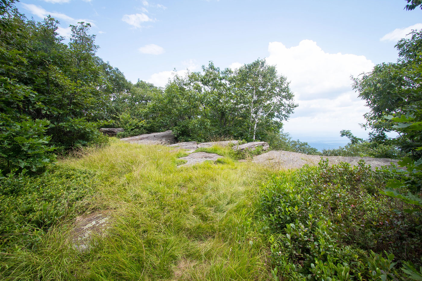
Ashokan High Point viewpoint. True summit is just a bit farther along the trail to the left.
Close-up of the view from Ashokan High Point.
Hire me or show me some love!
Hire/refer me as a web developer or send me a few bucks if you find my site useful. I’m not sponsored, so all fees are out-of-pocket and my time preparing trip reports is unpaid. I really appreciate it!