

Atalaya Mountain trailhead. Peak seen ahead.
The trail meanders through the foothills.
The trail crosses a raod.
Atalaya Mountain ahead.
Junction where you can choose the steeper (left) route, or longer and more scenic route (right). We stayed right.
Atalaya Mountain above.
A steeper section of trail.
Switchbacks as we near the summit ridge.
View back the way we came, just before reaching the summit ridge.
Summit ridge, heading to Atalaya Mountain.
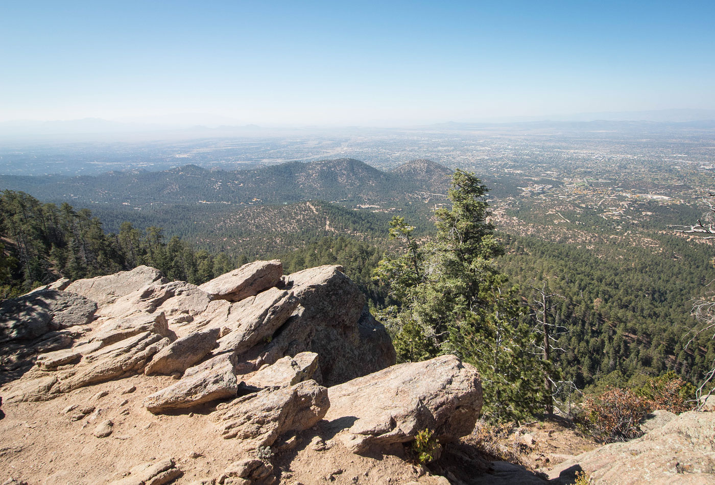
Lookout just below the Atalaya Mountain summit. Santa Fe seen below.
Hire me or show me some love!
Hire/refer me as a web developer or send me a few bucks if you find my site useful. I’m not sponsored, so all fees are out-of-pocket and my time preparing trip reports is unpaid. I really appreciate it!