

From the trailhead, we crossed over Sheep Creel Spring and headed on a social trail on the hills to the left of the drainage. This avoided bushwhacking through the vegetation.
Heading up the wash.
It's a lot of wash walking.
A section of narrows within the wash.
Class 2+ moves within the narrows.
Another section of narrows with a pretty slickrock wall.
Slickrock.
Nice lighting and colors.
Continuing up the wash forever.
False summit of Avawatz Peak comes into view.
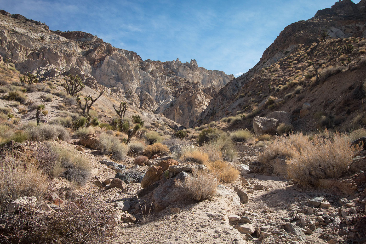
Toward the head of the wash as we head into the progressively steeper drainage. You can see the eroded cliffs that will surround us as we ascend.
View up the drainage.
Class 2 boulder-hopping.
A Class 2+ move. Maybe Class 3? I dunno, it's not exposed.
Farther up the drainage.
Looking back at our progress.
Some forks in the drainage system. Keeping right at major forks seemed to be a good rule.
Steep slope to the top of the drainage.
At the top of the drainage, view back the way we came. You can see Sheep Creek stretch into the distance.
View back as we emerge from the drainage.
Avawatz Peak ahead. First, a few hundred feet of undulating desert. Keep to the left and make an ascending side-hilling traverse rather than drop down.
At the base of Avawatz Peak, heading up the ridge.
View back toward the drainage we emerged from (center).
Along the ridge to Avawatz Peak.
View back along the ridge.
Avawatz Peak ahead.
Avawatz Peak, view east.
Avawatz Peak, view southwest toward Tiefort Mountains High Point and the military land.
Hire me or show me some love!
Hire/refer me as a web developer or send me a few bucks if you find my site useful. I’m not sponsored, so all fees are out-of-pocket and my time preparing trip reports is unpaid. I really appreciate it!