

Abbey's Way Trailhead, left.
Along the Abbey's Way Trail.
View back, Carr Peak visible top right.
The Abbey's Way Trail emerges into this meadow. It will be tempting to head into it, but stay left within the trees.
Close-up toward Aztec Peak.
North side of the meadow, the Abbey's Way Trail wraps around the perimeter of the meadow.
Another view back.
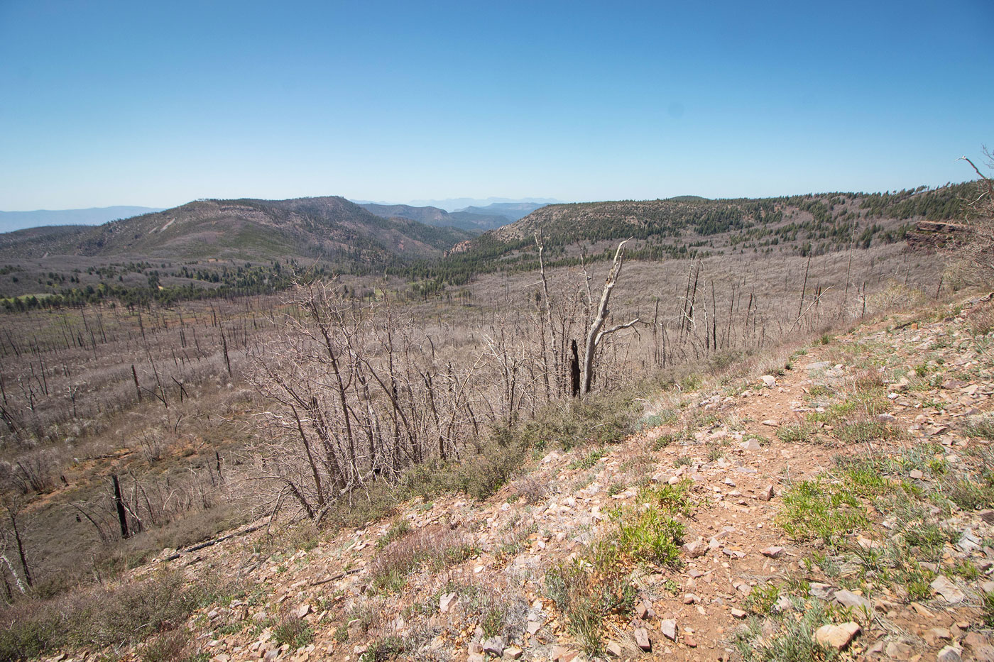
Aztec Peak visible top right.
Fortunately the trail seems to be maintained to some extent.
View back.
Gaining elevation, Aztec Peak ahead.
A switchback along the Abbey's Way Trail.
View back along the switchbacks.
Close-up toward Workman Creek (right of center), which is the route the drive up came from.
Four Peaks visible in the distance.
Nearing the end of the Abbey's Way Trail.
Top of Abbey's Way.
Summit of Aztec Peak ahead. The views weren't much different than the approach since the summit area is so wide.
Hire me or show me some love!
Hire/refer me as a web developer or send me a few bucks if you find my site useful. I’m not sponsored, so all fees are out-of-pocket and my time preparing trip reports is unpaid. I really appreciate it!