

Starting up from the Babad Do'ag Trailhead
Shallow canyon leading to a waterfall.
The waterfall on the left.
Top of the waterfall, approaching the end of the Babad Do'ag Trail.
The lightly used social trail.
Looking back the way I came along the social trail.
Looking down toward the Soldiers Trail (you can sort of see it in the center).
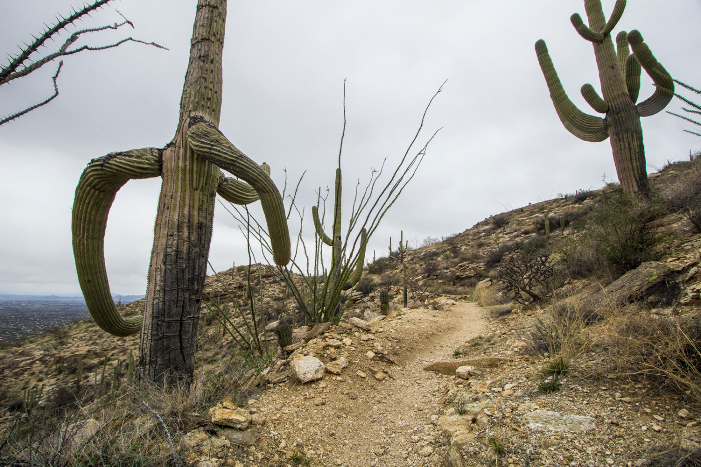
Soldiers Trail.
Dryfall over a cliff. Pretty big faces along the Soldiers Trail.
Approaching the end of the Soldiers Trail. Take the Mt. Lemmon Highway back to the Babad Do'ag Trail.
Hire me or show me some love!
Hire/refer me as a web developer or send me a few bucks if you find my site useful. I’m not sponsored, so all fees are out-of-pocket and my time preparing trip reports is unpaid. I really appreciate it!