I provide a free route map, but you can also download a hike/drive GPX to assist you and to help support my site. Before sharing my GPX tracks with others, please remember my site is a free resource and I'm charging nominal fees to offset my substantial costs.
GPX track added to your cart.
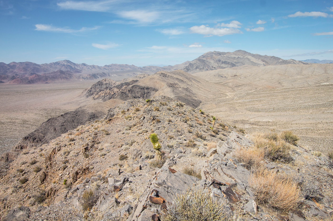
Mar 17, 2021 — Banded Ridge is comprised of two small peaks in Desert National Wildlife Refuge separated by a short canyon. The last half mile to the trailhead might be tough for low-clearance, but any car could probably make it. I started north, heading to the right up a short canyon and emerging on the southeast side of Banded Ridge. I started up the steep, easy slope to the summit. I followed the summit ridge north and headed down into the wash below, taking this wash to the east side of North Banded Ridge. The wash started heading the wrong way and I instead headed through the easy terrain to the base of the peak. The slope to ascend North Banded Ridge was comparable to Banded Ridge, with maybe some easy Class 2 talus mixed in. I headed back via the pretty canyon separating the two peaks and continued south along the west base of Banded Ridge to get back. There were some airplane wreck remains along the way.
Please consider helping me out if you find my site useful. I'm not sponsored, so all site fees are out-of-pocket and my time preparing these trip reports is unpaid. You can also hire me as a web developer. I really appreciate it!


If you find my site helpful, please help me replace my many broken cameras, fund my website fees (hosting, APIs, security), or just support my countless hours of work. I pay for all expenses myself, and all trip reports I post are unpaid and unsponsored, so any support is really appreciated!
If using PayPal, please select their option for "Sending to a friend" so they don't take out fees, thank you.
My site is free to use, but consider sending me a few bucks to help keep it running. Thanks in advance!