

Just after leaving the parking lot, Bear Mountain visible on the left.
Starting up the very well-manicured Appalachian Trail, complete with stairs and interpretive trail labels.
Anthony's Nose peeking through the trees.
A view point on the way up the A.T.
Bear Mountain lookout tower.
Bear Mountain, view south.
Heading down the shortcut route to pick up the A.T. again.
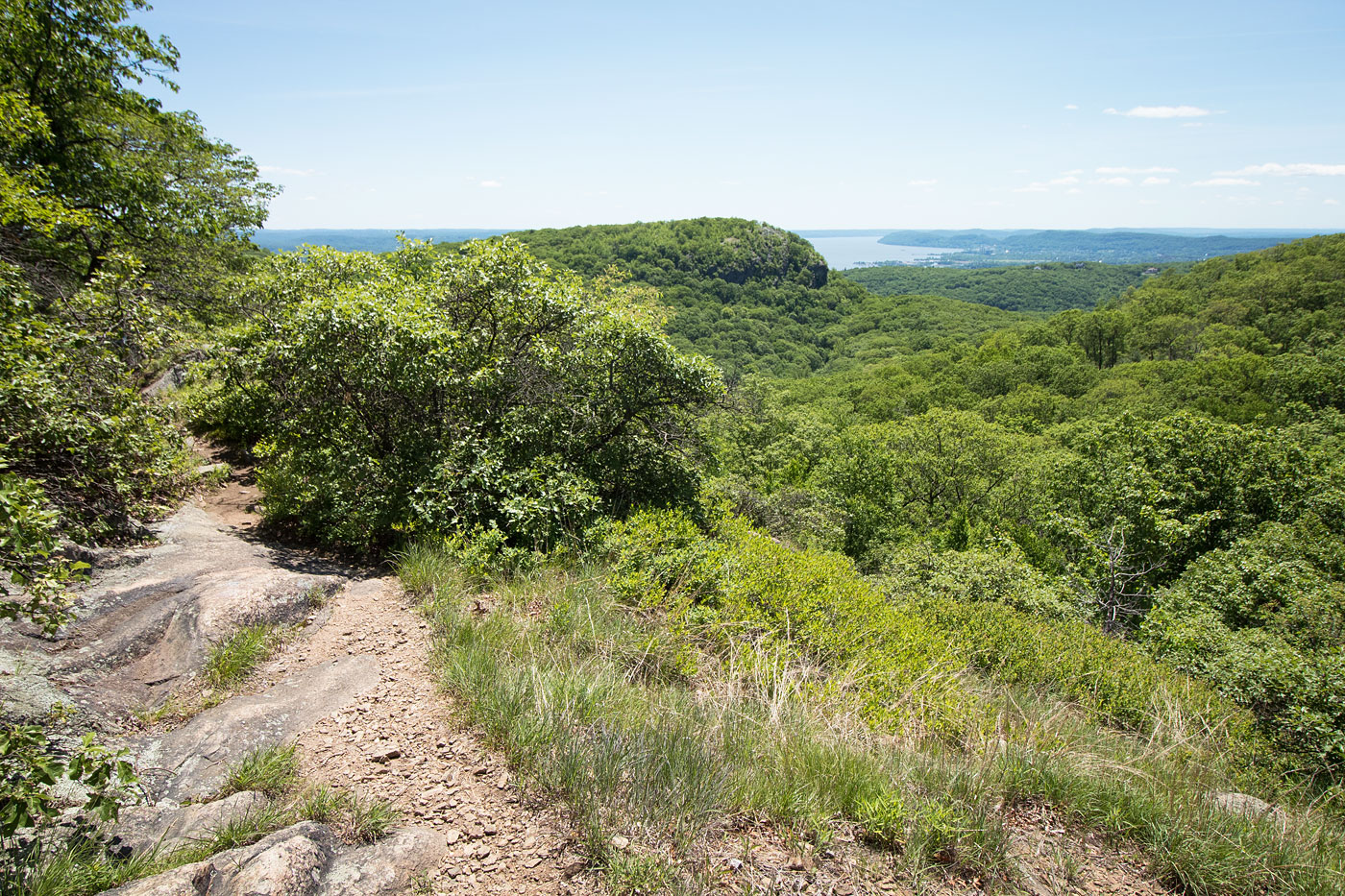
Great views along the A.T.
The A.T. crosses Seven Lakes Drive after a while.
I picked up the Timp-Torne Trail (blue blaze) and followed it up the ridge of West Mountain.
View back toward Bear Mountain.
Some rocky obstacles along the ridge.
The Timp-Torne Trail merges with the A.T. again.
Views along the Timp-Torne Trail/A.T.
Summit of West Mountain nearby.
Heading southeast.
West Mountain shelter.
The Timp in the distance.
Heading down from West Mountain to The Timp.
The Timp summit, view north. Bear Mountain visible top left.
The Timp.
The Timp suimmit, view northwest toward West Mountain.
Heading down from The Timp toward Bald Mountain.
Crossing The Timp Brook.
Heading up to Bald Mountain.
Bald Mountain summit, view north toward Bear Montain and the Bear Mountain Bridge.
Heading down from Bald Mountain.
I left the official trail and followed a social trail along Doodltown Brook.
Passing a small waterfall on Doodletown Brook.
An old road leading to Doodletown.
Some ruins.
Doodletown Reservoir.
Continuing along a road to Doodletown.
Doodletown Signs.
One of the Doodletown Ruins.
Second June Cemetery. Still used.
Back on the official trail.
Approaching the road (Rt 202).
Route 202. Entrance Road center. I continued on the blue blaze trail. You could just follow the Entrance Road back to the trailhead.
The trail got me back to the main Bear Mountain parking lot.
Hire me or show me some love!
Hire/refer me as a web developer or send me a few bucks if you find my site useful. I’m not sponsored, so all fees are out-of-pocket and my time preparing trip reports is unpaid. I really appreciate it!