

Starting from the Sams Gap Trailhead. You can see I-26 on the right and cars at the trailhead in the center.
Forested trail for a while.
Ascending slowly to West Street Gap Peak.
Meadows just past West Street Gap Peak. Big Bald visible in the clouds ahead.
I loved this little section of meadow, especially because it would be the only views I'd see. Big Bald was covered in fog when I got there.
After passing an ATV road at Street Gap.
The slow ascent to Big Bald.
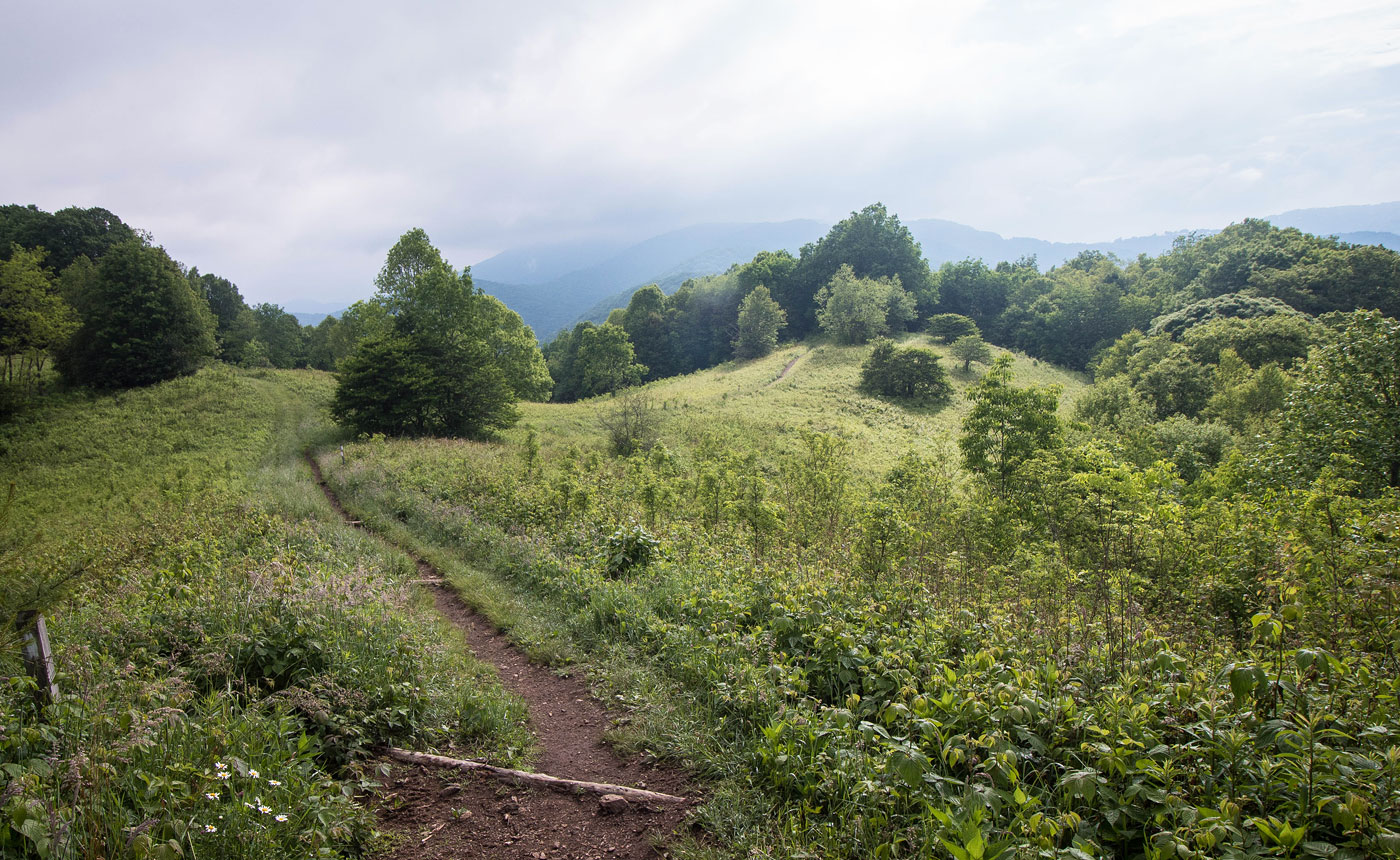
Looking back along the Appalachian Trail, heading to Big Bald.
The trail gets a little steeper as it ascends.
Although easy to follow, the trail that started out being wide and well-maintained became slightly more overgrown.
Meadows before Big Bald.
Pretty meadows on Big Bald, despite the fog.
Big Bald summit.
My meager view to the east from the summit of Big Bald.
Hire me or show me some love!
Hire/refer me as a web developer or send me a few bucks if you find my site useful. I’m not sponsored, so all fees are out-of-pocket and my time preparing trip reports is unpaid. I really appreciate it!