I provide a free route map, but you can also download a hike/drive GPX to assist you and to help support my site. Before sharing my GPX tracks with others, please remember my site is a free resource and I'm charging nominal fees to offset my substantial costs.
GPX track added to your cart.
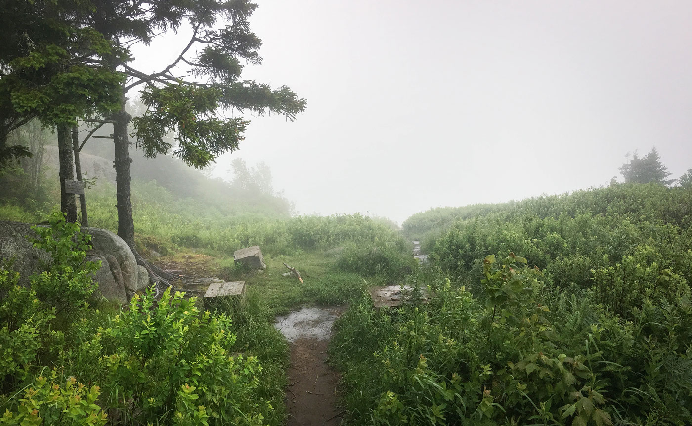
Jun 29, 2020 — This route to Black Mountain is short hike that starts along an old, foot-traffic-only (I think) dirt road before veering off onto a road converted to trail through the forest. The hike continues to just follows this old roadbed to the summit Black Mountain nearly the whole time, excluding the last little bit where brush has encroached enough to just be a trail. There weren't any views along the way, just forest walking. Normally, this peak overlooks a great view of Lake George, but I only had fog. Fortunately, there are lots of others trails in the area, some of which would lead to the summit of Black Mountain. I would love to come back and including another route to Black Mountain from the south, which looks more interesting than this short and unevenful hike.
Please consider helping me out if you find my site useful. I'm not sponsored, so all site fees are out-of-pocket and my time preparing these trip reports is unpaid. You can also hire me as a web developer. I really appreciate it!


If you find my site helpful, please help me replace my many broken cameras, fund my website fees (hosting, APIs, security), or just support my countless hours of work. I pay for all expenses myself, and all trip reports I post are unpaid and unsponsored, so any support is really appreciated!
If using PayPal, please select their option for "Sending to a friend" so they don't take out fees, thank you.
My site is free to use, but consider sending me a few bucks to help keep it running. Thanks in advance!