

Starting out from the trailhead. The road on the far left is labeled No Trespassing, but the trail right next to it is fair game. The Bomb Voyage Trail heads up the ridge on the far left in this photo. The summit of Blue Diamond Hill is up there in the center somewhere.
Along the Bomb Voyage Trail, looking into Skull Canyon.
Looking back toward the pretty Red Rock Canyon peaks. My car is parked somewhere on the right.
Close-up at my progress, my car just right of center.
Continuing up the trail, well-maintained.
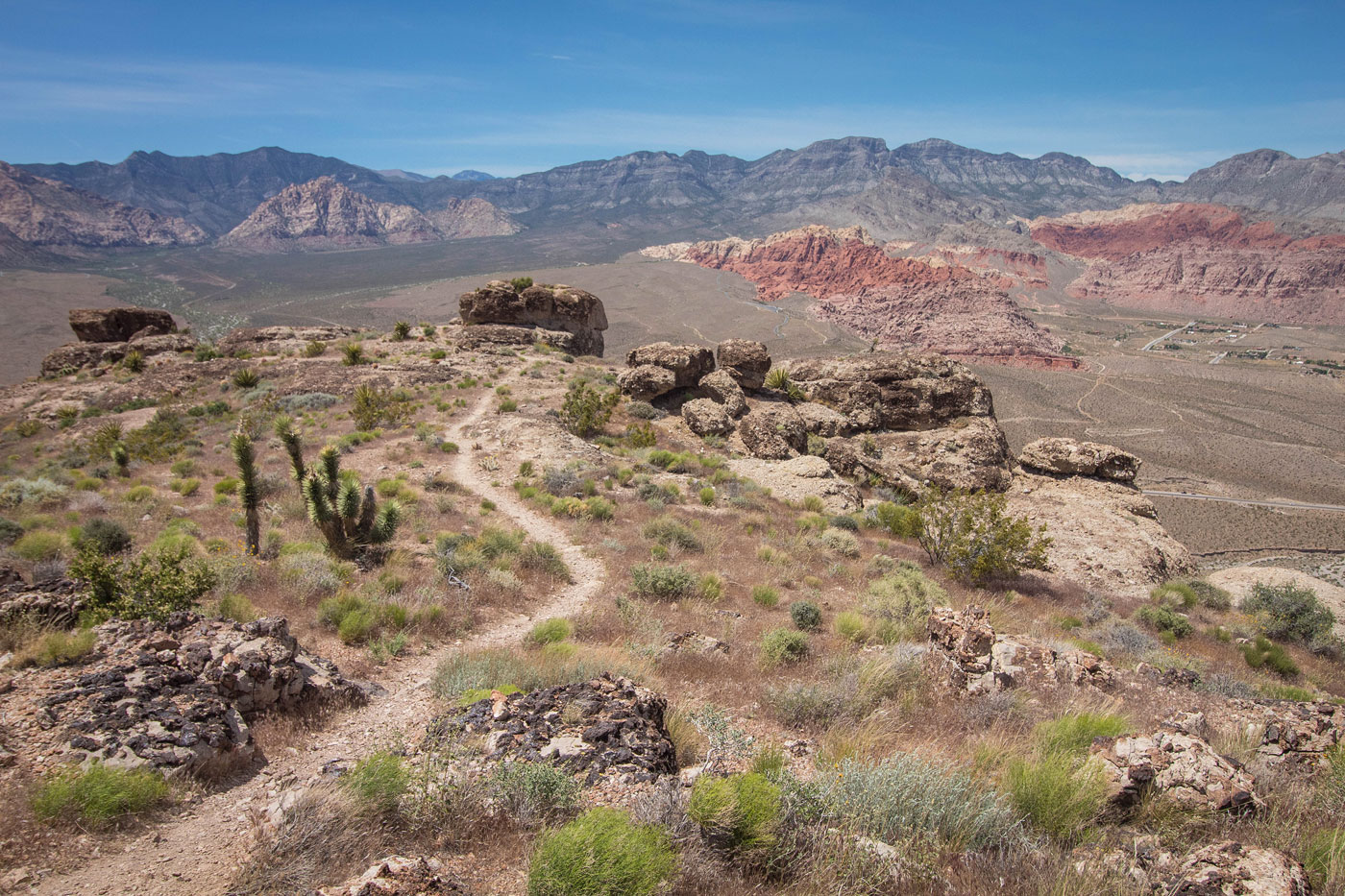
Looking back after ascending up to the rim, continuing southeast along the rim.
Blue Diamond Hill up there somewhere. The rim was less exciting, but did have some nice views toward Las Vegas and Red Rock Canyon NCA.
Looking back.
Blue Diamond Hill on the far left.
The trail merged with a dirt road, which I followed.
Blue Diamond Hill summit, view toward Las Vegas. There was a little piece of astro turf up there on the left.
Heading down along my chosen descent trail, the Radio Tower Trail.
The Radio Tower Trail turned into the Boneshaker Trail, which continued descending down a wide ridge.
Looking back up at the descent ridge as I continued down the Boneshaker Trail.
The Boneshaker Trail descended steeply toward the end, finishing the loop by merging with the start of the trail system below. The trailhead is out of frame on the left.
Hire me or show me some love!
Hire/refer me as a web developer or send me a few bucks if you find my site useful. I’m not sponsored, so all fees are out-of-pocket and my time preparing trip reports is unpaid. I really appreciate it!