

I hiked along the road for a while, unsure if my car could make it. What's an extra 800 vertical? lol
Boundary Peak official trailhead.
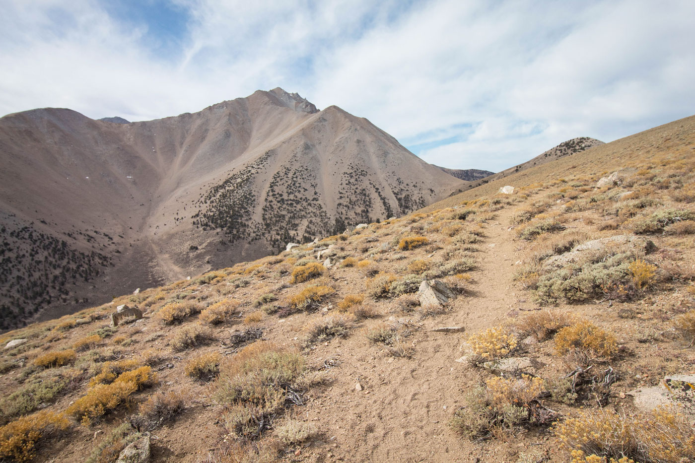
Very pretty trail that ascends to the ridgeline.
View back as I make my way up the trail.
Boundary Peak comes into view, super pretty.
Continuing along the pretty ridgeline.
Trail Canyon Saddle Peak visible top right. A social trail heads to its summit.
Summit of Trail Canyon Saddle Peak, view back along the ridge.
Trail Canyon Saddle Peak summit, view toward Boundary Peak. I headed down on steep terrain to rejoin the trail.
View back toward Trail Canyon Saddle Peak (top left). You can see the Boundary Peak Trail in the center of this photo, avoiding Trail Canyon Saddle Peak.
Heading up the steep slope on a well-defined trail.
View back, Trail Canyon Saddle Peak top left.
The trail is much better than it appears from below.
View back toward my progress.
On the left is a bump along the ridgeline that the trail avoids. The trail keeps to its right and heads to the saddle in the center of this photo.
At the saddle before the final push to Boundary Peak. Keep to the right of the rock outcrops along the ridge crest.
View back along the ridgeline toward the previously mentioned bump.
Loose at points along the social trail leading to Boundary Peak, nothing exceeding Class 2.
View back from just below the summit of Boundary Peak. Trail Canyon Saddle Peak and the ridge that I came in on from the trailhead are visible in the center of this photo, way down there.
Boundary Peak, view toward Montgomery Peak, left. It's a bit loose, but never exceeds Class 3.
View back toward Boundary Peak as I make my way to Montgomery Peak.
Montgomery Peak ahead. Class 2 talus.
Some loose stuff, Class 3 at points, as I near the saddle of Boundary Peak and Montgomery Peak.
A social trail leads for a while toward Montgomery Peak.
View back toward Boundary Peak.
Rough, loose section past the saddle.
Steep for the last few hundred feet. Follow social trails and be careful.
View back toward Boundary Peak from Montgomery Peak.
Montgomery Peak summit, view south toward Mount Dubois.
Close-up toward Mount Dubois and White Mountain Peak to the south.
Close-up to the east.
Hire me or show me some love!
Hire/refer me as a web developer or send me a few bucks if you find my site useful. I’m not sponsored, so all fees are out-of-pocket and my time preparing trip reports is unpaid. I really appreciate it!