

CDT Jacks Peak Trailhead.
Scrubby terrain as I start along the CDT.
Along the CDT, a view toward the slopes above. The trail is a casual ascent without being steep at all.
Nice views to the surrounding landscape.
Ascending the southern slope of Burro Peak along the CDT.
View back.
Leaving the cacti behind and entering chaparral.
Continuing to ascend, the CDT winding around on the twisting sloped ridgeline.
About halfway up, I got a view toward Jacks Peak's radio towers.
Some nice forest walking.
Junction with Jacks Peak Road. Just across the road the CDT continues.
Burro Peak seen left.
View back along the CDT as it wraps around Jacks Peak.
Nearing the saddle, Burro Peak on the left.
From the saddle, headed north toward Burro Peak.
View back, Jacks Peak seen center.
Summit area of Burro Peak. The high point is just off-trail on the left.
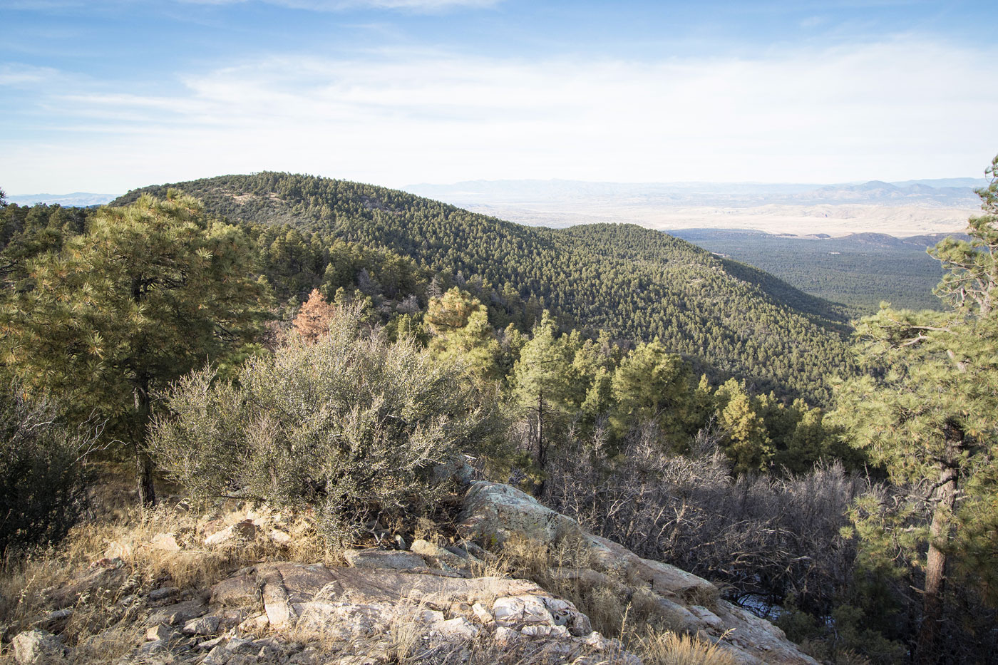
Burro Peak summit view.
Back at the saddle, Jacks Peak top left out of frame. A less-maintained trail leads up.
View back toward Burro Peak before reaching Jacks Peak Road.
Along Jacks Peak Road, leading to the summit of Jacks Peak.
Jacks Peak summit, view north toward Burro Peak.
Jacks Peak summit radio towers, view southeast.
Hire me or show me some love!
Hire/refer me as a web developer or send me a few bucks if you find my site useful. I’m not sponsored, so all fees are out-of-pocket and my time preparing trip reports is unpaid. I really appreciate it!