I provide a free route map, but you can also download a hike/drive GPX to assist you and to help support my site. Before sharing my GPX tracks with others, please remember my site is a free resource and I'm charging nominal fees to offset my substantial costs.
GPX track added to your cart.
Mar 07, 2024 — I headed along the road to the Paria Town Site, an old movie set which I fully intended to check out after hiking to Calico Peak. On my drive out after my hike, I realized I'd forgotten to do so and figured I could just look online to see what I missed. I forgot about that too, and even as I write this, I'll likely forget again. I remember I used to seek out historic remains in the backcountry, but the colorful badlands on the drive in and throughout the hike to Calico Peak were certainly more exciting and distracting. I parked where I did because the road was washed out ahead and it was only a little over half a mile to the end of the road anyway. A Crossover SUV can make it to where I did, and any car can reach an official trailhead about a quarter mile before (37.23723, -111.95827). Tom Gathright had spent some time playing around in the area, and for the most part I used his route to ascend Calico Peak.
I hiked the rest of the deteriorated road through a research area flanked by colorful cliffs. I passed through a gate, and when the road made a hairpin turn through a wash, I headed north into this wash away from the road. I followed a neat little canyon that wiggled countless times through chocolate-colored narrows, rising dramatically and unexpectedly. The wiggling canyon opened up and then started to have some encroaching brush. I left it at a downed tree, taking a Class 2 rocky gully up to the hills above where I could see the guarded summit. Calico Peak is a bit of a tricky summit to reach because its extended mesa top seems to be fortified from all directions by its substantial cliff band base. I continued on sandy terrain toward the peak's base. Staying low meant side-hilling on loose sandstone blocks embedded in the sand, so I recommend staying high, closer to the cliff base.
I wrapped around the peak to the left, toying a little bit on some of the trickier-looking Class 4/5 options, none of which felt good to me. Poking around on them was fun, but even though some of these options seemed viable, getting up closer resulted in the moves requiring a pull above my head and unknown terrain above. So, I continued wrapping until a weakness revealed itself on the northwest side, the same slope that Tom had used. The band seemed to have crumbled away here, resulting in a pretty wide slope with plenty of Class 2 options to ascend higher. I wrapped to the right when a nice bench presented itself, and then from here, I just continued following the path of least resistance. Tom seems to have found an easier route by staying low, but I located a Class 3 chimney through some stacked boulders, a sneak route over an upper cliff band. I couldn't resist going this way, but you could continue wrapping to the right to make this easier, but that means skipping the interesting crawl space.
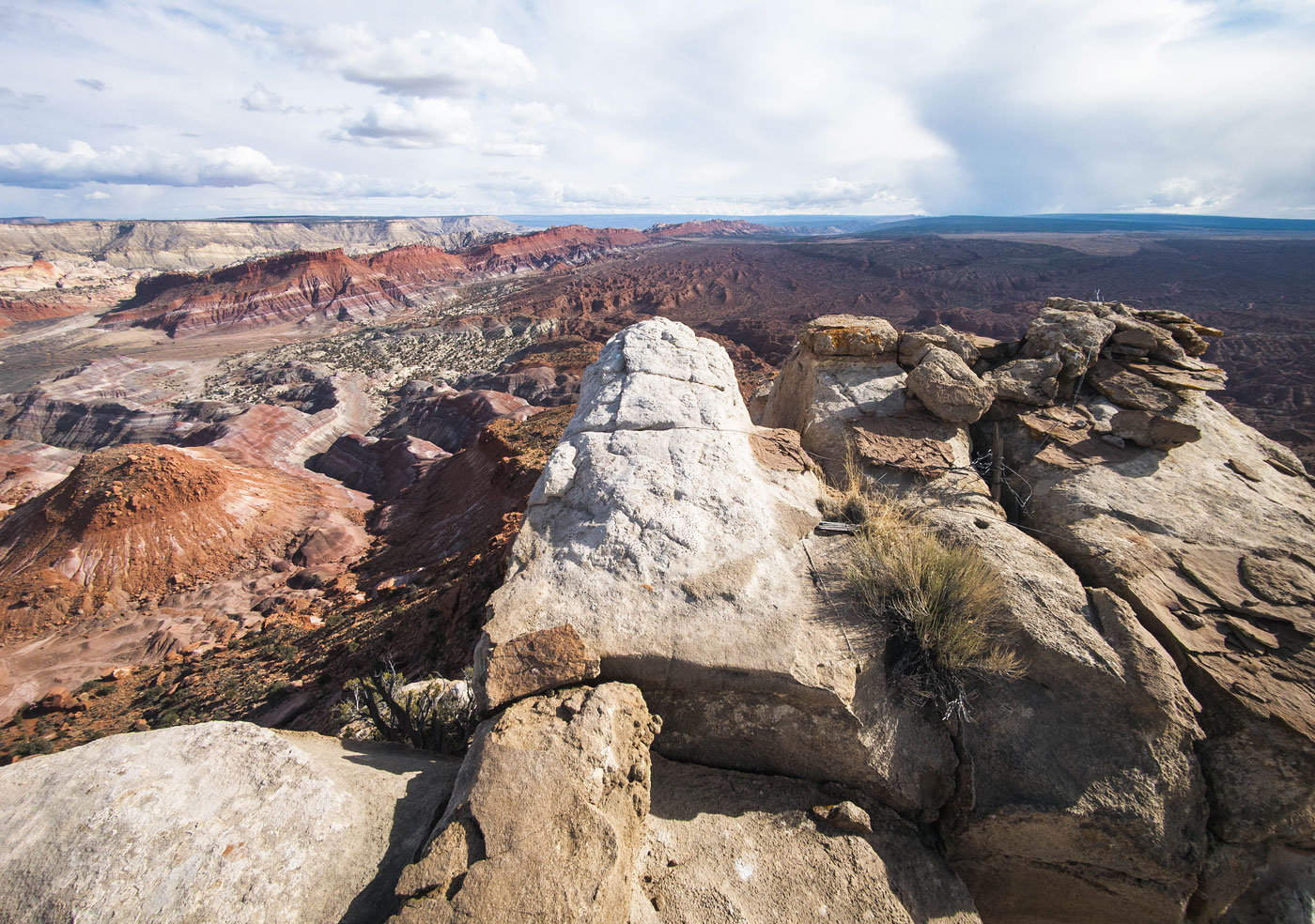
Once on the mesa top above, it was an easy walk to the summit, but please watch out for the large quantity of cryptobiotic soil. The summit had a Class 2 block, where I got phenomenal views, especially down to the colorful badlands below, but also toward the Paria River and the wonderful Utah desert stretching into the distance.
Please consider helping me out if you find my site useful. I'm not sponsored, so all site fees are out-of-pocket and my time preparing these trip reports is unpaid. You can also hire me as a web developer. I really appreciate it!


If you find my site helpful, please help me replace my many broken cameras, fund my website fees (hosting, APIs, security), or just support my countless hours of work. I pay for all expenses myself, and all trip reports I post are unpaid and unsponsored, so any support is really appreciated!
If using PayPal, please select their option for "Sending to a friend" so they don't take out fees, thank you.
My site is free to use, but consider sending me a few bucks to help keep it running. Thanks in advance!