

Starting up the sandy Water Canyon Trail.
Entering Water Canyon. See my Water Canyon technical canyon trip report for more photos of this very pretty canyon.
Keep left a few times to work up ledges to avoid the cliffs within the canyon.
Looking back down Water Canyon.
Trail leads up the west side of Water Canyon, switchbacking up to the top.
A Class 2+ move.
Nice views on the way out of Water Canyon.
Top Rock, view northeast.
Heading north to enter the wash below.
Going west within the wash.
Lots of running water for me within the washes today.
Eventually the wash ends in a slickrock bowl.
Ascending the bowl.
Looking back into the bowl.
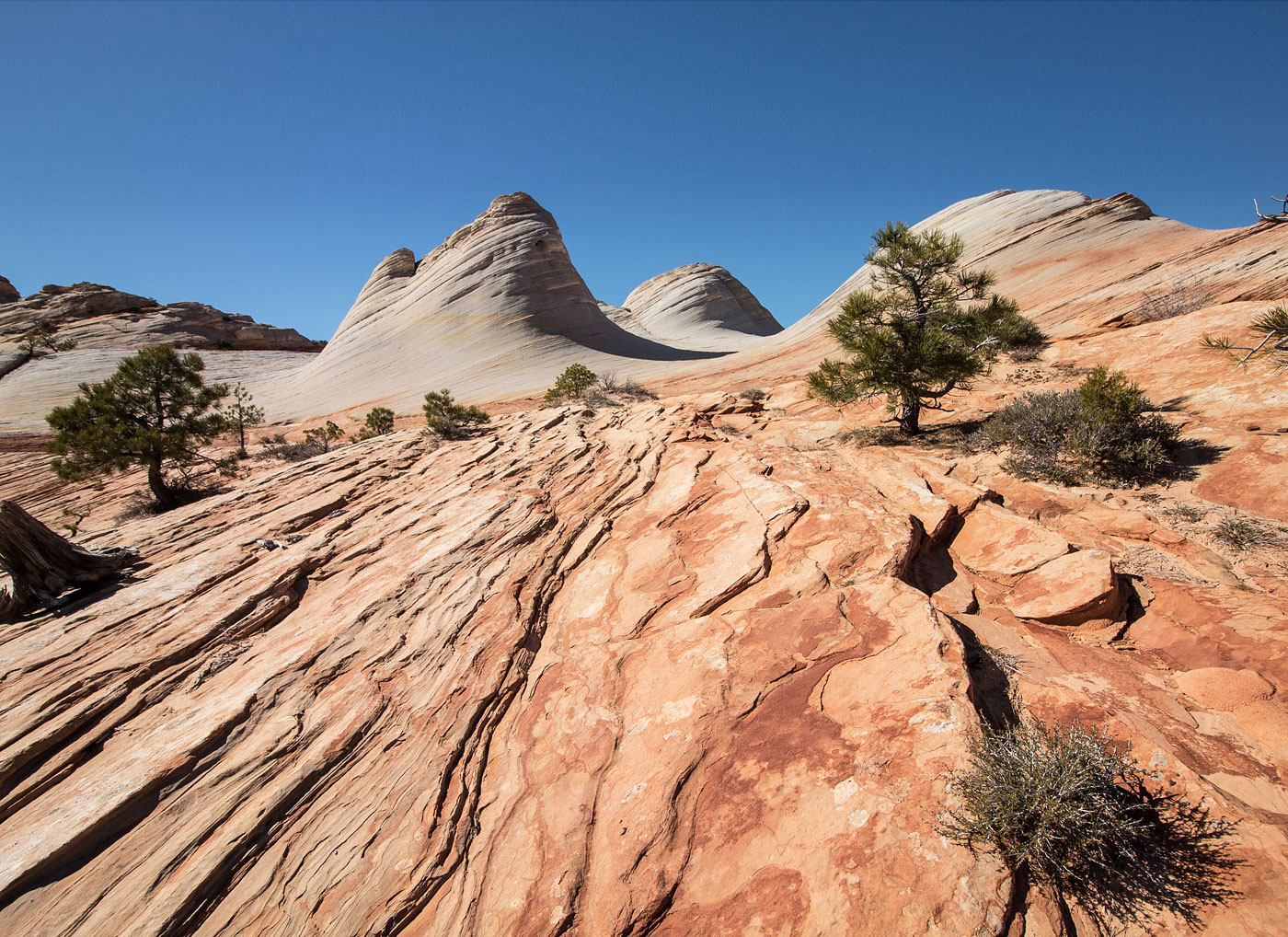
White Domes ahead!
I'd say the White Domes were a highlight of the hike.
Continuing west along the trail (labeled Sawmill Trail on the trailhead map).
The trail gets lost in slickrock a few times, but it's pretty easy to follow.
A view of Canaan Mountain's high point in the center.
Close-up of Canaan Mountain (right) as I head down to the left on the trail to Notch Viewpoint.
Notch Viewpoint.
Trail continues west, passing some interesting slickrock but mostly uneventful.
Approaching Windlass, some ruins on the left.
The ruins.
Looking out from where the ruins hang over the cliff edge.
Some really interesting ponds, hoodoos, etc. within the slickrock landscape.
Some cross-country to get to the high point.
Approaching Canaan Mountain high point.
View northeast toward the cliffs of Canaan Mountain.
Close-up of the cliffs.
Canaan Mountain high point, view northwest, toward Zion.
Close-up of Zion National Park.
Canaan Mountain, view looking back toward where I came.
Back at White Domes with better lighting.
I took a photo of myself for scale context.
Hire me or show me some love!
Hire/refer me as a web developer or send me a few bucks if you find my site useful. I’m not sponsored, so all fees are out-of-pocket and my time preparing trip reports is unpaid. I really appreciate it!