

Starting up the wash from the trailhead.
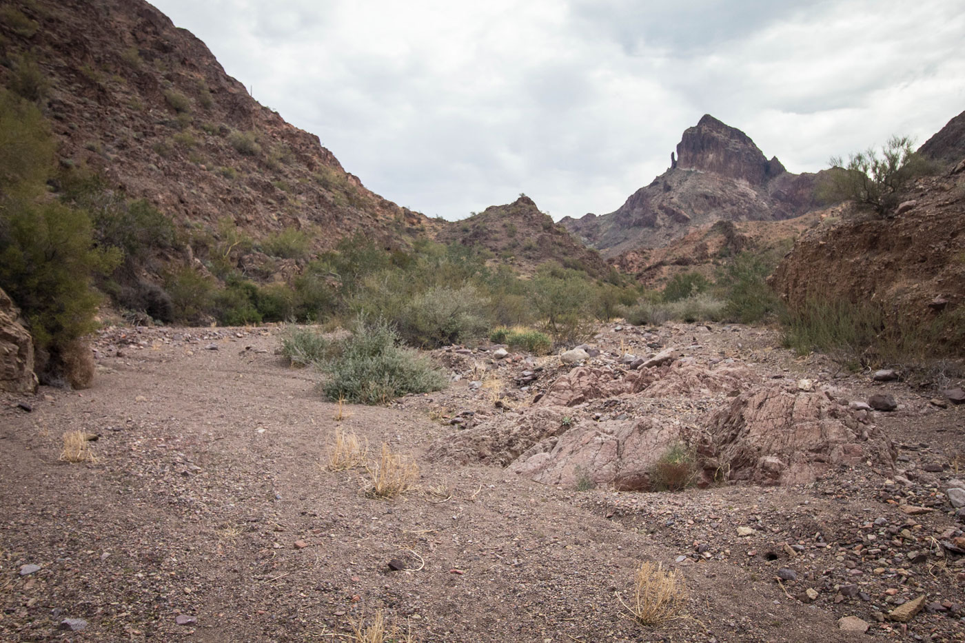
Castle Dome Peak ahead.
A massive arrow marking the route into a side-wash. Don't follow the wash too long - a social trail leads to the left out of the wash.
Along the social trail heading to the base of Castle Dome Peak. The rock pinnacle visible on the left is our first waypoint.
Class 2 slope leading to the base of Castle Dome Peak.
Looking back as we ascend the Class 2 social trail. You can see the wash we came in on from the trailhead, center right.
Rock pinnacle ahead.
Crazy colors below.
Hugging the northeast side of Castle Dome Peak, just before the Class 2 gully.
Class 2 gully ascent. Going all the way to the notch leads to an optional Class 4 scramble.
Looking back down the gully as we start to ascend.
At the notch, a look to the right at the optional Class 4 section.
Looking down at Matt as he comes up the optional Class 4 section.
Alternative to the Class 4, the standard Class 2/3 scramble out of the gully. This was about 50 feet back down the gully from the notch.
Wrapping around to the southeast side on the social trail.
Class 2/3 scrambling to gain some more elevation to the summit.
Castle Dome Peak summit ahead.
Castle Dome Peak summit, Thumb Peak visible to the east.
Hire me or show me some love!
Hire/refer me as a web developer or send me a few bucks if you find my site useful. I’m not sponsored, so all fees are out-of-pocket and my time preparing trip reports is unpaid. I really appreciate it!