

Catwalk National Recreation Trail trailhead.
After a short hike, the trail enters the narrows on "the catwalk".
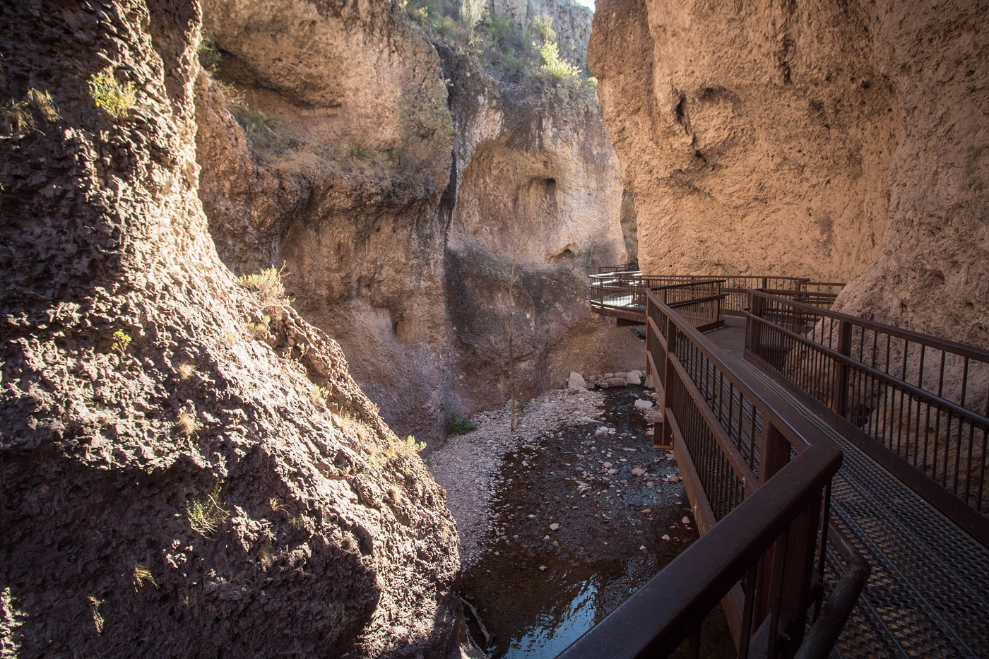
Looking back at some stairs leading to the Catwalk.
The Catwalk.
Catwalk National Recreation Trail.
The catwalk was pretty short-lived, ending with some stairs down into the canyon.
Looking up-canyon.
Looking back toward the catwalk.
Continuing up Whitewater Creek's narrows.
Minor waterfalls along the way.
A closed-off section of the catwalk. Along the trail, I could see the eroded old remains on the cliffside. This staircase was used to access the now-closed portion.
Continuing up Whitewater Creek.
Pretty sections of trail.
The trail continues up the canyon, staying to the left of the boulder-strewn section visible on the right.
Looking back the way I came. You can see the bolted remains of what I believe was a bridge of some sort.
Continuing out of the narrows.
Junction with the gold Dust Trail.
Continuing along the Whitewater Creek Trail, which parallels the creek on its left for the rest of the hike.
After a short ascent, I got this nice view looking up the canyon, Whitewater Creek visible below.
The trail hugs the cliff, a very pretty section.
The trail drops back down to Whitewater Creek and continues following it.
Looking back at an interesting part of the Whitewater Creek Trail.
I turned around here. It looked pretty farther ahead, but it was getting dark and I knew the trail continued forever. I should have gone a bit farther because there was apparently some old power plant ruins farther up.
On the way back, a shot of the Catwalk.
Another shot of the Catwalk on my way back.
Hire me or show me some love!
Hire/refer me as a web developer or send me a few bucks if you find my site useful. I’m not sponsored, so all fees are out-of-pocket and my time preparing trip reports is unpaid. I really appreciate it!