

Entering the sandy wash.
View back after hiking along the sandy road for a while.
The road ascends gradually for most of the time, but has a couple of steeper portions, especially when reaching the southern ridge of Cave Mountain.
View back after reaching the southern ridge, where the road ends.
Heading north along the ridge, Cave Mountain seen center.
At the southern ridge, a fun view toward the sandy slopes to the east.
Class 2, but mostly just a lovely hike up the ridge.
View back. I came up from the sandy stuff top right.
A bit convoluted along the ridgeline since it's kind of lumpy, but you can't get too mixed up.
Another shot back along the ridgeline. The trailhead is somewhere on the far right. Afton Canyon's cool eroded featured seen on the left.
Approaching the true Class 2 ascent to the summit. The drop on the right was steep enough to be really interesting.
Close-up toward the light scramble.
Class 2 (or Class 3 if you keep farther right).
View back from the top of the scramble. Trailhead top right, south ridge I ascended on the left.
Close-up along the south ridge.
Class 2 to the false summit.
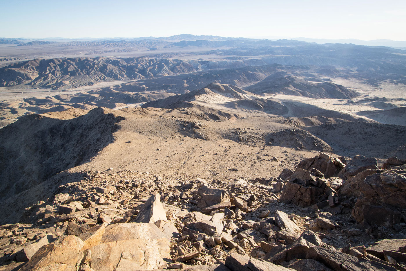
False summit, view toward the summit boulder block on the right.
Close-up down toward I-15.
View north, Soda Mountains seen on the left and Baker CA a speck right of center.
Hire me or show me some love!
Hire/refer me as a web developer or send me a few bucks if you find my site useful. I’m not sponsored, so all fees are out-of-pocket and my time preparing trip reports is unpaid. I really appreciate it!