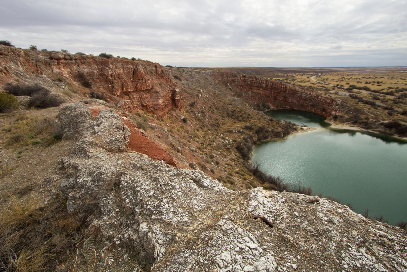
Feb 16, 2018 — Starting from the visitor center, head up a ridge above Cottonwood Lake, the first of the sinkholes, also known as cenotes. Continue along the rim of the cenotes, off-trail, until the last pair, then head down to the Park Service Road. From here, a canyon should be visible on the left, Shadow Canyon. Sidenote: I asked a ranger about this canyon since it wasn't named anywhere on maps, and he said aparently Billy the Kid hung out in there? Yay history! Anyway, I decided to go up the north fork, and then back through the south fork. You should be able to see a sign for the Bluff Trail, a super boring interpretive trail that leads to Lea Lake.
Please consider helping me out if you find my site useful. I'm not sponsored, so all site fees are out-of-pocket and my time preparing these trip reports is unpaid. You can also hire me as a web developer. I really appreciate it!


If you find my site helpful, please help me replace my many broken cameras, fund my website fees (hosting, APIs, security), or just support my countless hours of work. I pay for all expenses myself, and all trip reports I post are unpaid and unsponsored, so any support is really appreciated!
If using PayPal, please select their option for "Sending to a friend" so they don't take out fees, thank you.
My site is free to use, but consider sending me a few bucks to help keep it running. Thanks in advance!