I provide a free route map, but you can also download a hike/drive GPX to assist you and to help support my site. Before sharing my GPX tracks with others, please remember my site is a free resource and I'm charging nominal fees to offset my substantial costs.
GPX track added to your cart.
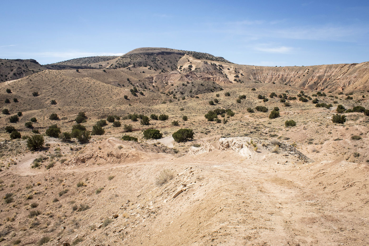
Jun 08, 2022 — The El Cerro de Los Lunas Preserve has an official map that outlines the trails that weave around the Cerro. I chose to make a loop to get the high points and also see the badlands at the base of the desert landscape. You can make this hike a bit short or longer by adding/removing trail sections. I marked a significant bypass on my attached map, but there are others as well.
After taking more time than anticipated to get my new camera ready (after my car was broken into a couple of days ago and lots of stuff stolen), I started out from the official trailhead in the already sweltering morning heat. The first mile or so of the Bowl Trail follows a wide dirt road, then meets a junction. I followed my map I'd downloaded, making a right to follow the Overlook Trail, which led up to the rim. Sandy enough to be lightly annoying, I dismissed my initial intention of running and just hiked to enjoy the scenery. The trail ascends to the southern side of the high point of El Cerro de Los Lunas (marked on their map as "Western Summit", switchbacking a couple of times before reaching the summit.
I continued along the Summit Trail, passed by the "Central Summit", and then descended to the north. I took a short spur along the Summit Trail again to reach the "Northern Summit" before backtracking and continuing down the Bowl Trail again. This trail wraps around lots of small hills within the badlands, and normally I might have shortened the hike to avoid the excessive weaving, but I was enjoying myself. The scenery isn't exactly inspiring, but it's a nice local park close to Los Lunas, New Mexico.
Please consider helping me out if you find my site useful. I'm not sponsored, so all site fees are out-of-pocket and my time preparing these trip reports is unpaid. You can also hire me as a web developer. I really appreciate it!


If you find my site helpful, please help me replace my many broken cameras, fund my website fees (hosting, APIs, security), or just support my countless hours of work. I pay for all expenses myself, and all trip reports I post are unpaid and unsponsored, so any support is really appreciated!
If using PayPal, please select their option for "Sending to a friend" so they don't take out fees, thank you.
My site is free to use, but consider sending me a few bucks to help keep it running. Thanks in advance!