

Heading off the rim (Class 2).
Navigating the slickrock to the head of Chambers Canyon.
The fun of Chambers Canyon begins quickly.
I took a ton of photos of the narrows, probably too many.
Going deeper.
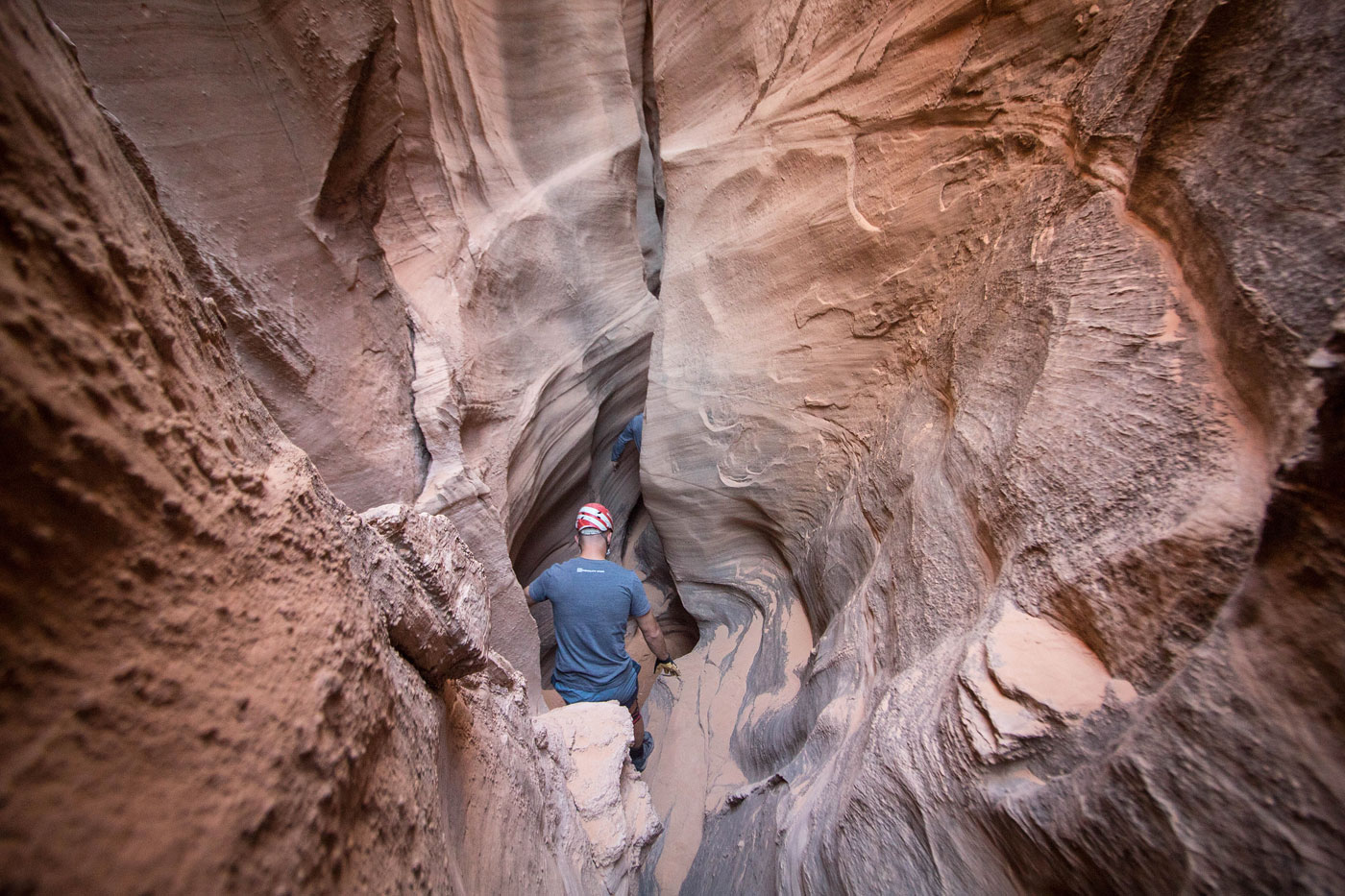
One of a few of the "chambers".
It was quite narrow in parts. Yoshi, the most acrobatic of us, was the least likely to actually need help, despite his expression.
Our helmets got stuck most frequently.
A very pretty chamber.
Almost a Subway-like feature.
Chambers Canyon lets up for a little bit.
View back into Chambers Canyon at our little rest spot before heading back into the narrows.
Chambers Canyon drops in again. Shawn stemmed down into it.
Dan (top) came though a short talus cave to get down.
Down-climb stemming obstacle.
Graffiti arrows marking a particularly narrow section that we stemmed over. The movement here was likely the crux of the canyon.
Entering the final, dark section.
Emerging from a crack in the rock.
Looking back toward the end of Chambers Canyon.
We continued down the wash to the Muddy River.
Very cool eroded cliffs.
Social trial led though the tall grasses to the river.
Muddy River.
Our Class 3 crack ascent option. Easier option available back up the wash.
Navigating the slickrock back to the trailhead.
View back toward the Muddy River.
The trailhead is top center on the rim.
Looking back as we ascend to the rim. The Henry Mountains are visible top left.
Hire me or show me some love!
Hire/refer me as a web developer or send me a few bucks if you find my site useful. I’m not sponsored, so all fees are out-of-pocket and my time preparing trip reports is unpaid. I really appreciate it!