

Along the road that better vehicles could continue on. Chokecherry Mountain visible center (or rather, a false summit of Chokecherry Mountain).
Remains of some cabin or something. Just after reaching this, a brushy drainage continued east, but I hopped over a small ridge and entering a wider drainage.
The wider drainage after the ruins.
Some flowing water in the drainage. The area was trampled heavily by horses.
Continuing within the drainage along wild horse trails.
Heading north, almost at a saddle.
Dropping north off the saddle, side-hilling into a drainage coming down from Chokecherry Mountain.
Looking back as I head up the steep drainage.
Occasional Class 2.
Toward the ridge as I ascent steeply out of the drainage. View looking back. I started somewhere in the shadowy section in the center of this photo.
Nearing the ridge, almost done with the steep stuff.
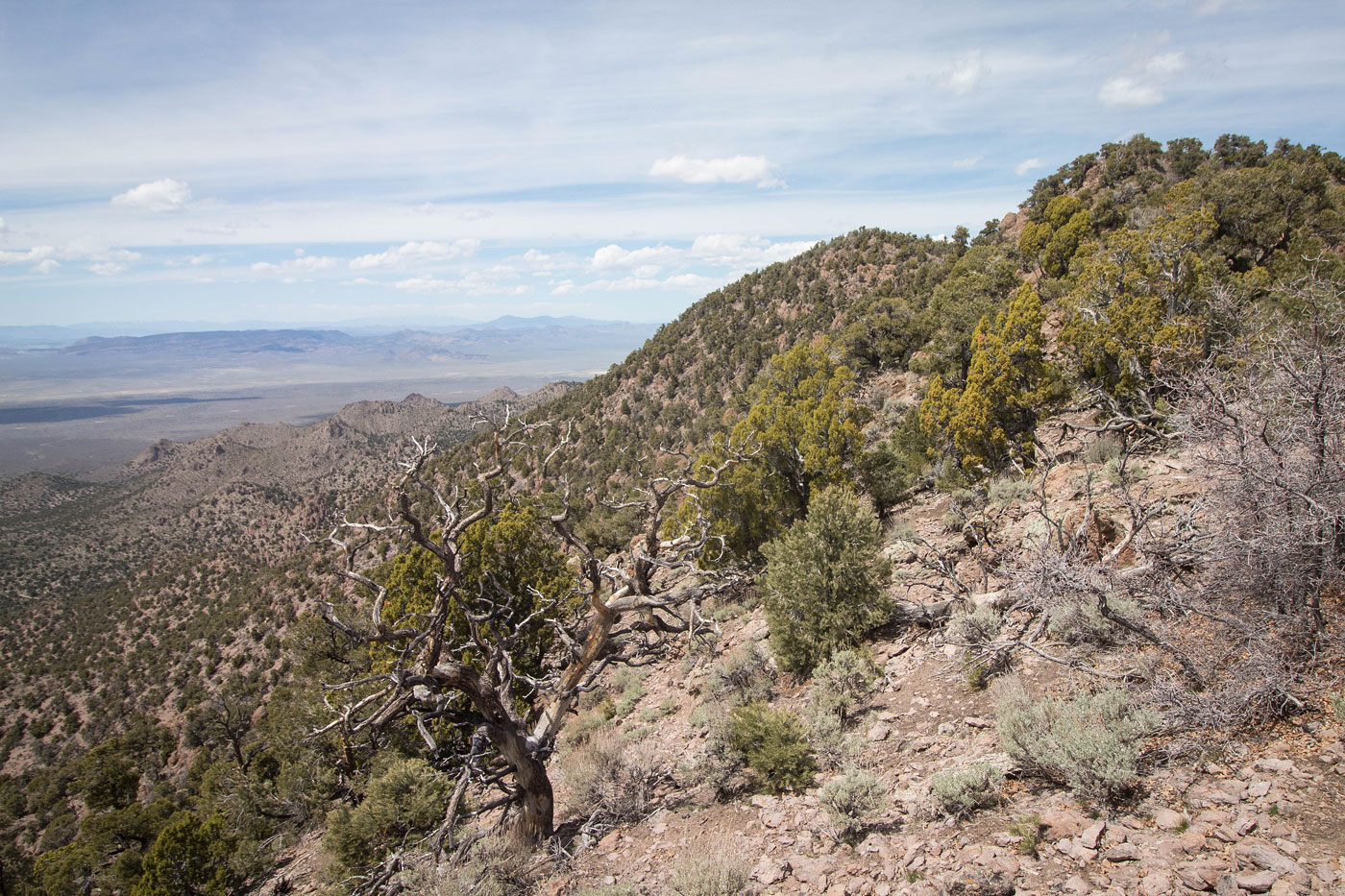
Looking north along the ridge to Chokecherry Mountain.
Looking back as I continue along the ridge to Chokecherry Mountain. There are a few rocky outcroppings to avoid, but nothing crazy.
Chokecherry Mountain center.
Chokecherry Mountain summit, no views.
Hire me or show me some love!
Hire/refer me as a web developer or send me a few bucks if you find my site useful. I’m not sponsored, so all fees are out-of-pocket and my time preparing trip reports is unpaid. I really appreciate it!