I provide a free route map, but you can also download a hike/drive GPX to assist you and to help support my site. Before sharing my GPX tracks with others, please remember my site is a free resource and I'm charging nominal fees to offset my substantial costs.
GPX track added to your cart.
Jun 11, 2022 — Conejos Peak is a remote 13er deep in the southern San Juan Mountains. Yossi and I drove from Summit Peak, which we did earlier in the day and paired nicely with Conejos Peak. The roads in the area are all in great shape and suitable for sedans, except for the last few miles required to reach this trailhead, though a careful low-clearance vehicle driver could probably make it to within two miles.
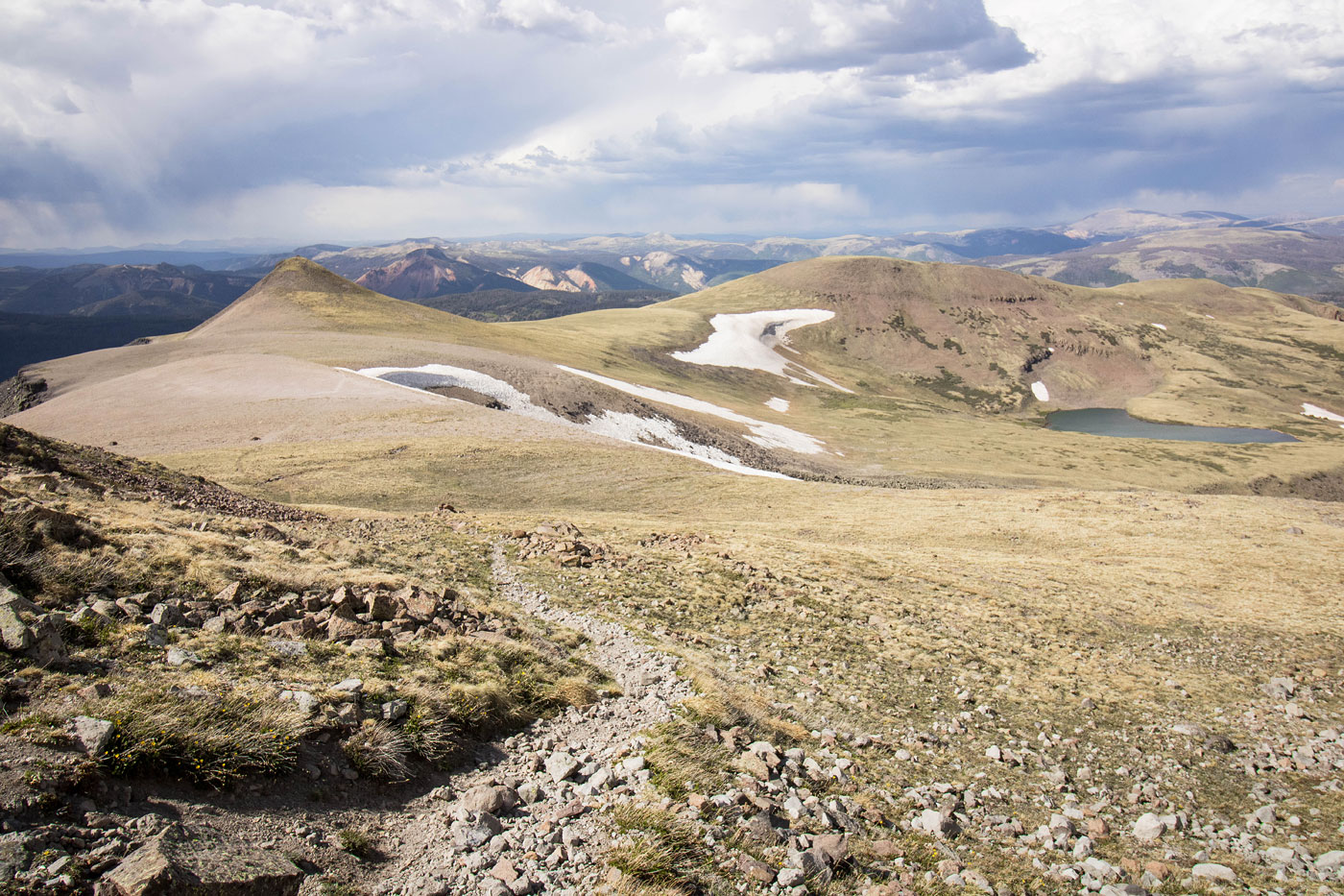
We started out along the pretty Rincon Trail, which headed west initially and then curved south. The trail crossed over a stream and ascended a bunch of switchbacks before leading above treeline and along the ridgeline. The Rincon Trail doesn't follow the ridge crest, so we left the trail at around 12100' and ascended west on the tundra slope. Eventually we stumbled onto the Tobacco Lake Trail at around 12400', and this trail led us all the way to just north of the summit of Conejos Peak. A short spur trail took us to the high point, where the views were pretty excellent.
A quickly approaching storm had us running. Continuing along the Tobacco Lake Trail, we made our way down from Conejos Peak and along a delightfully bright ridgeline and through the tundra. While sometimes hard to follow, the trail ultimately reached Tobacco Lake. Without lingering at Tobacco Lake, we followed the excellent trail for a while longer, but it would eventually take us to the Tobacco Lake Trailhead, not where the car was parked. To get back to the car, we left the Tobacco Lake Trail when the brush/trees on the slope to the right seemed the most open. We descended the pleasant slope with some minor bushwhacking and found ourselves back on the Rincon Trail, which we took back.
Please consider helping me out if you find my site useful. I'm not sponsored, so all site fees are out-of-pocket and my time preparing these trip reports is unpaid. You can also hire me as a web developer. I really appreciate it!


If you find my site helpful, please help me replace my many broken cameras, fund my website fees (hosting, APIs, security), or just support my countless hours of work. I pay for all expenses myself, and all trip reports I post are unpaid and unsponsored, so any support is really appreciated!
If using PayPal, please select their option for "Sending to a friend" so they don't take out fees, thank you.
My site is free to use, but consider sending me a few bucks to help keep it running. Thanks in advance!