

Starting up the major drainage on the east of Copper Mountains High Point.
The bolder-hopping begins.
View back at some navigating below an old dam.
Some historic dam.
Above the dam, continuing up the drainage/canyon.
View back at our progress so far.
Sticking to the drainage often meant avoiding significant boulder obstacles, but also meant more brush/catclaw.
An aircraft turbine.
It's just kind of a lot of this.
Getting steeper higher up.
Another shot back.
Some fun Class 2/3 obstacles.
A neat little portion.
Another shot back as we near the top of the steeper portion.
A very cool, though short, water-carved slot.
View down at the scramble up the slot.
The drainage continues, but we left it and headed north.
Up our gully option heading north. Class 2/3.
View back at the gully we'd ascended, the main drainage we left seen center.
Finally, a section of this hike without boulder-hopping, though short-lived.
View back, we came up the gully on the right.
Navigating left of the crest until we found a way to gain it.
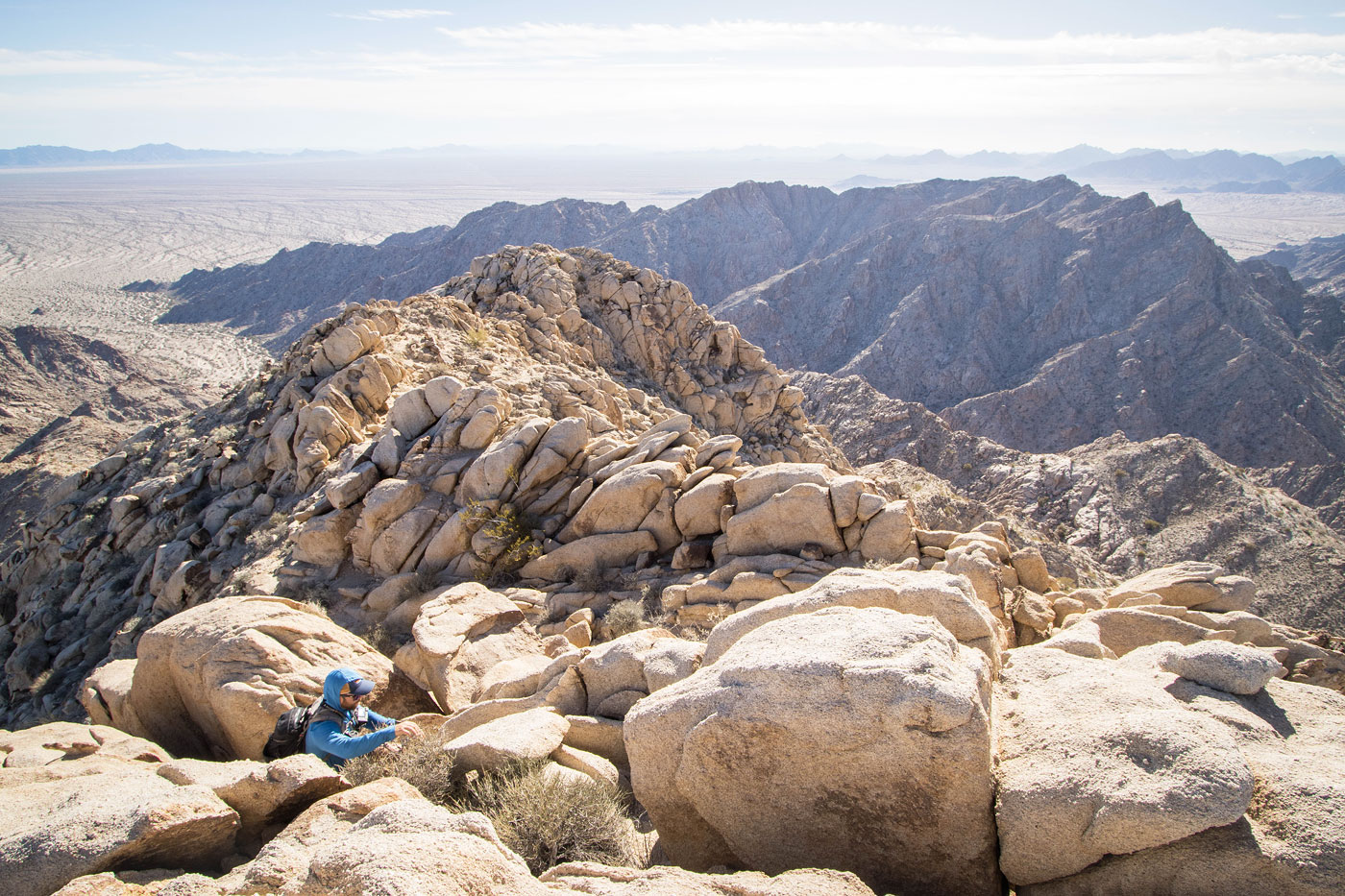
View back along the crest. The cars are below in the center somewhere.
Some fun scrambling along the crest to reach Copper Mountains High Point, seen ahead.
Final Class 2/3 to the summit.
Copper Mountains High Point summit.
Copper Mountains High Point summit, view across the canyon toward its southern high-prominence neighbor.
Summit view west.
Hire me or show me some love!
Hire/refer me as a web developer or send me a few bucks if you find my site useful. I’m not sponsored, so all fees are out-of-pocket and my time preparing trip reports is unpaid. I really appreciate it!