I provide a free route map, but you can also download a hike/drive GPX to assist you and to help support my site. Before sharing my GPX tracks with others, please remember my site is a free resource and I'm charging nominal fees to offset my substantial costs.
GPX track added to your cart.
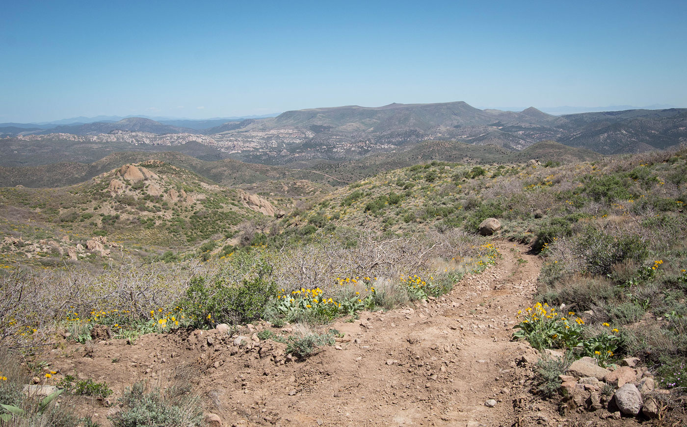
May 07, 2021 — The Bull Valley Mountains are a small and lumpy range north of St. George, Utah. Cove Mountain was the first of the peaks I'd check out in the area, and despite being an old forest road walk for pretty much the whole hike, I really liked it. Wildflowers were in bloom and the scenery was nice. Any car can make it to the trailhead, or at least to the turn-off just before where I parked. The forest road continues, but is blocked by a sign reading that the road is closed to all motorized vehicles, and then a gate. I just stuck to the most obvious road option as I ascended to Cove Mountain, though there are multiple off-shoots of the main road. It's pretty clear since the road consistently ascends (except for a couple of small dips) as it weaves around the northern slope of the peak. There was one section about a half mile from the summit where the main road becomes overgrown for a short time, and I mention it only because it merges with a more prominent road and on the way back it might be easy to miss. Eventually the road reaches a minor saddle separating Cove Mountain's east summit (taller) from its west summit. The road continues toward the south summit, but starts to descend. Instead, leave the road and travel cross-country on pretty gentle terrain to the summit boulder, barely a Class 2 move.
Please consider helping me out if you find my site useful. I'm not sponsored, so all site fees are out-of-pocket and my time preparing these trip reports is unpaid. You can also hire me as a web developer. I really appreciate it!


If you find my site helpful, please help me replace my many broken cameras, fund my website fees (hosting, APIs, security), or just support my countless hours of work. I pay for all expenses myself, and all trip reports I post are unpaid and unsponsored, so any support is really appreciated!
If using PayPal, please select their option for "Sending to a friend" so they don't take out fees, thank you.
My site is free to use, but consider sending me a few bucks to help keep it running. Thanks in advance!