

Crested Butte seen above from near the free lot where I parked.
I hiked along this winding dirt road.
Making progress up the slope via the switchbacking dirt road.
View back, Gothic Mountain visible in the center.
Close-up at some of my progress up Crested Butte via the dirt road. As you can see you can shave off quite a bit of mileage by cutting the road switchbacks and instead hiking up the ske slopes.
Along the road, a view to the northeast.
Approaching a ski lift on the north side of the slope.
Final road ascent to the start of the official trail. Crested Butte is visible top right.
Start of the official trail.
Nice little well-maintained switchbacks through the forest.
View back along the Crested Butte Trail.
Entering the talus field on Crested Butte's northeast side.
Crested Butte out of frame on the right. The trail ascends to the minor saddle on the right of the small bump in the center of this photo.
View back along the trail from the minor saddle before a teeny descent.
A short descent on the southeast side of Crested Butte before reascending to the peak via its ridgeline.
Some unnecessary ropes for this barely Class 2 section. There were no further ropes on my trip, so maybe this is a new feature they're adding for the whole hike?
Ascending Crested Butte via its southeast ridge.
The trail fades away and some light Class 2 leads to the summit.
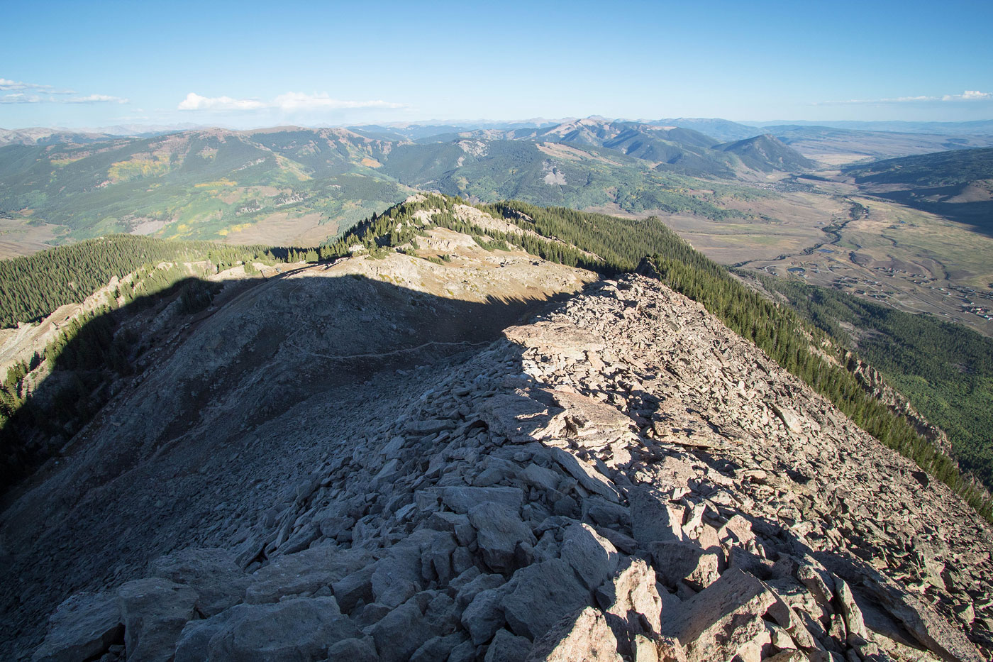
Crested Butte summit, view back along the ridgeline.
Crested Butte summit, view down into the town of Crested Butte below. Whetstone Mountain visible on the left.
Wide-shot from the summit into Crested Butte. Gothic Mountain visible on the right.
Hire me or show me some love!
Hire/refer me as a web developer or send me a few bucks if you find my site useful. I’m not sponsored, so all fees are out-of-pocket and my time preparing trip reports is unpaid. I really appreciate it!