

View from my parking spot. I headed left up the ATV road. I'll be returning from the right. Dean Peak poking up top right.
Along the good ATV road.
View back down the ATV road.
Making progress up the ATV road. Not much to report, it's pretty straightforward.
A turn in the ATV road. You can see the drainage I'll be descending from Peak 7141 later on the distant right.
A small dip in the ATV road.
View back along the winding ATV road.
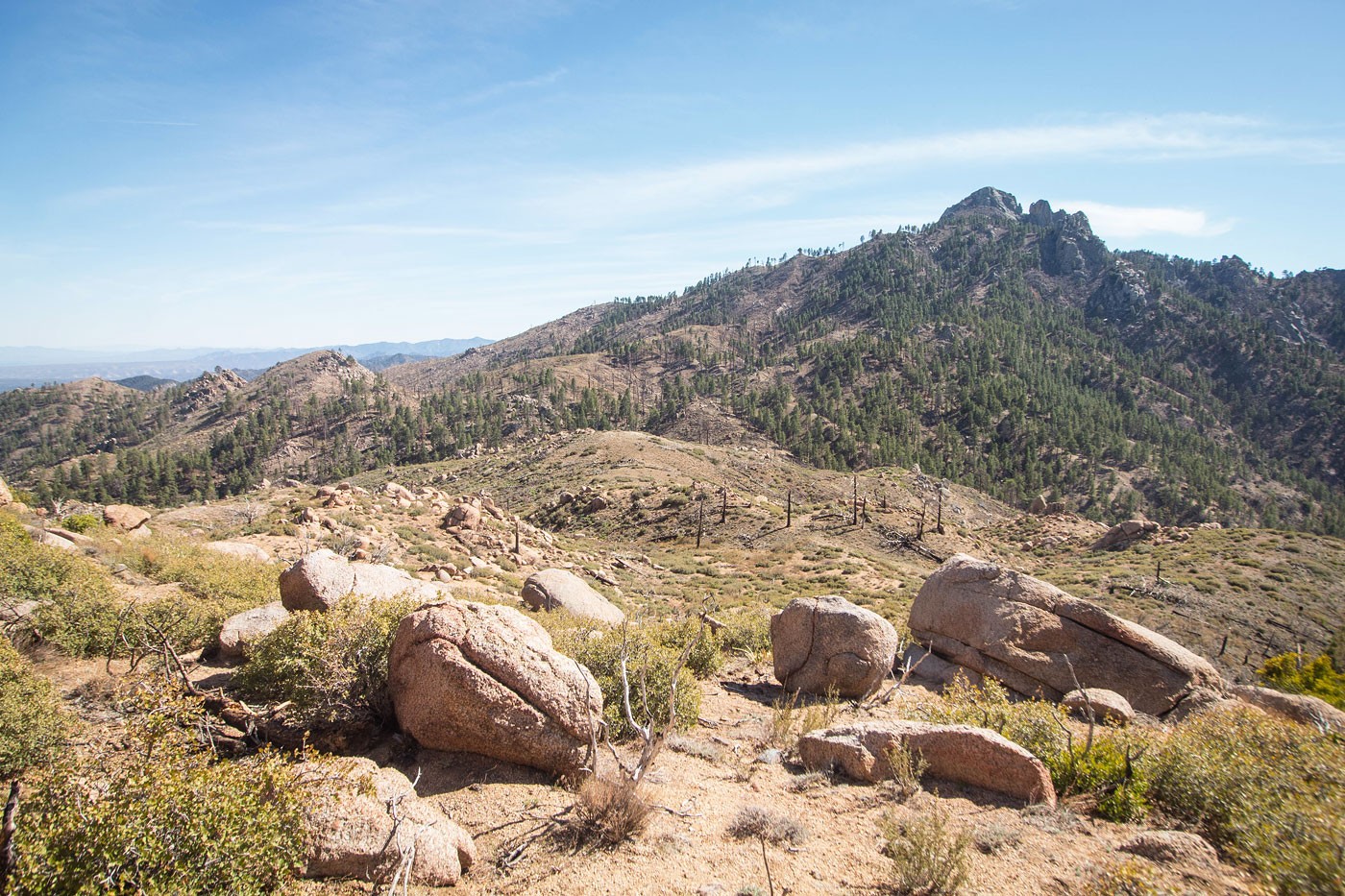
Hualapai Peak comes into view.
Dean Peak comes into view.
The ATV road continues to wind around as it approaches Dean Peak.
Close-up toward Dean Peak.
View back toward the trailhead, center left.
Entering a short section of forest. There were a couple of downed trees, but otherwise the road continues to be easy walking.
Close-up toward Dean Peak.
The ATV road continues sporadically past these boulders, but really it just peters out. I recommend just heading up the slope from here.
Heading up the slope after the ATV road ended.
Looking back. I came up via the forested section in the center.
Some ankle-high bushwhacking up the slope.
Dean Peak ahead.
At the base of Dean Peak.
The last bit has quite a bit of prickly brush. It's not super fun.
Some Class 2/3 scrambling helps to avoid the brush.
Nearing the summit area on one of many ascent options.
Summit of Dean Peak, view toward the way I came (right). Peak 7141 visible on the left.
Dean Peak, view toward Hualapai Peak.
Dean Peak, close-up toward Hualapai Peak. You can also see the ridgeline that could serve as an approach from the west from the saddle of Dean/Hualapai, if you would prefer that route option.
Dean Peak, view north.
Back at the base of Dean Peak, I continued toward Peak 7141 down a steep, forested slope.
View back toward Dean Peak from the base of the steep slope.
Some Class 2 bouldery stuff.
Peak 7141 ahead.
Base of Peak 7141.
Nearing the summit area of Peak 7141, view toward Dean Peak.
Peak 7141 heart-shaped summit boulder visible ahead.
Stiff Class 3 bouldery move onto the summit boulder. Dean Peak visible top right.
From the summit of Peak 7141, headed east along the ridge.
View back as I continue along the ridge toward Peak 7141 (right) and Dean Peak (left).
Steep descent to a saddle with an unranked bump ahead. I dropped into a drainage from the saddle, on the right.
Heading into the drainage.
Class 2 boulder-hopping within the drainage. This drainage led to the main wash that would bring me back to my car.
Some ruins within the main drainage.
Within the main drainage, view back the way I came. It was easy walking back to my car from here.
Hire me or show me some love!
Hire/refer me as a web developer or send me a few bucks if you find my site useful. I’m not sponsored, so all fees are out-of-pocket and my time preparing trip reports is unpaid. I really appreciate it!