

Enter Pine Creek Canyon, Deertrap Mountain looming ahead.
Continue through Pine Creek and look for a good spot on the left to exit the canyon.
Approaching the bowl beneath Deertrap Mountain.
Starting up.
Looking back.
Pretty steep sections of class 3 slab. East Temple in the background.
Looking down the south buttress.
The ridge turns into a knife edge. Keep left of the ridge once this happens.
Easy mountainside walk. Cross over to the right side of the knife edge once reaching the base of Deertrap Mountain. It will become clear.
On the right side of Deertrap Mountain, where the class 4 begins.
Looking back from on the right (east) side of Deertrap Mountain.
A sketchy part. You can see the knife edge below, and sort of see the route I took up below.
More class 4 fun.
Looking down even more class 4.
A climactic pull up over a five foot ledge brings you to the plateau. This is looking down at the last bit of fun.
On the plateau (the toe of Deertrap Mountain), looking toward the way I just scrambled up.
From the plateau looking down at the Deertrap Mountain ridge and Upper Pine Creek Canyon below.
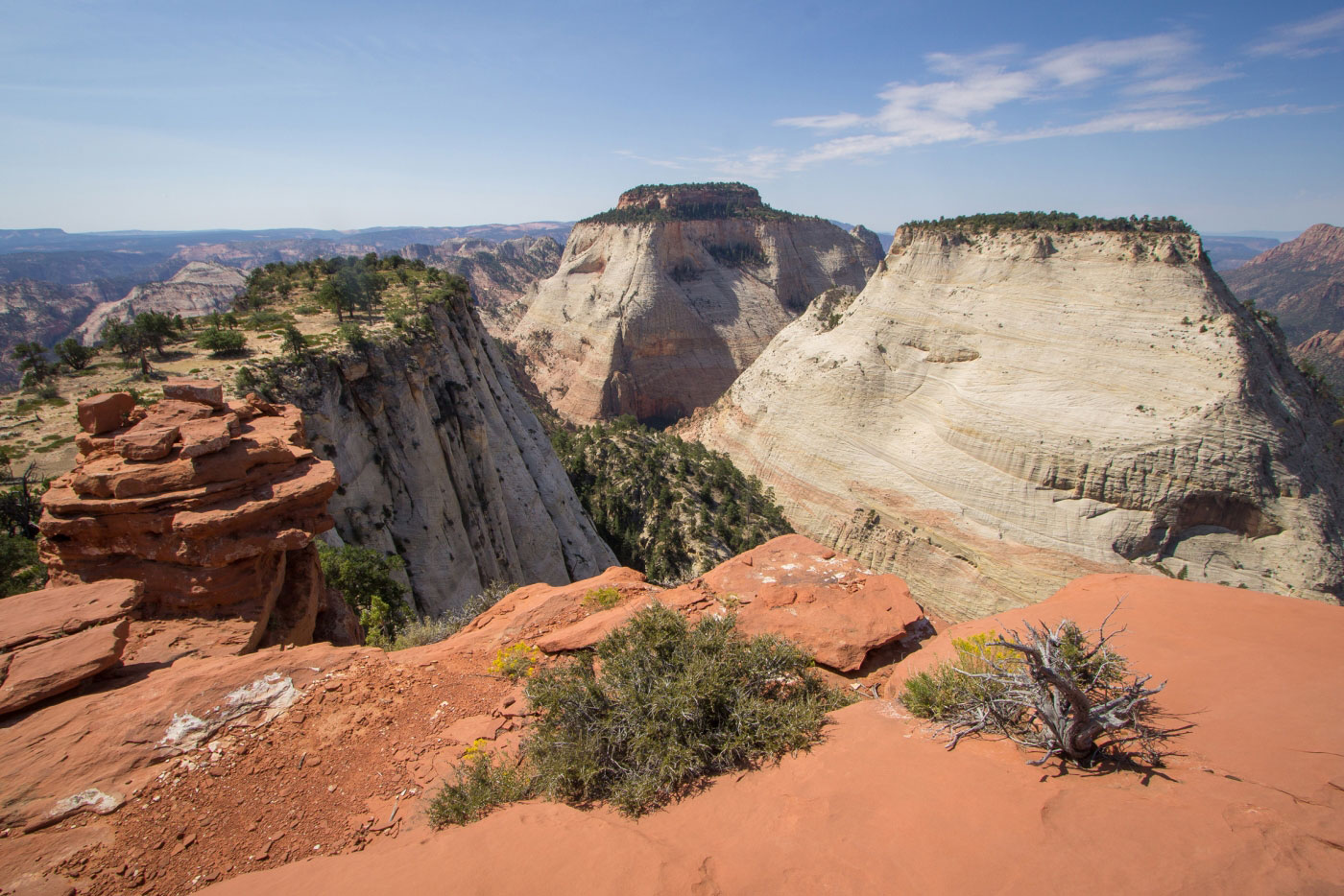
Summit of Deertrap Mountain, Twin Brothers and the East Temple in the distance. The toe of Deertrap Mountain on the left.
Continuing north of Deertrap Mountain.
A view of Deertrap Mountain's south buttress in front of East Temple.
Going off-trail to find the descent into Many Pools Canyon.
Ah, there it is.
Some easy bushwhacking and class 2+ obstacles.
The vegetated section eventually opens up to slickrock.
Looking back up the canyon.
Looking back, lots of mini pools.
Footprints, must be close to the road.
Back at the road, looking up Many Pools Canyon before hitching a ride.
Hire me or show me some love!
Hire/refer me as a web developer or send me a few bucks if you find my site useful. I’m not sponsored, so all fees are out-of-pocket and my time preparing trip reports is unpaid. I really appreciate it!