

Eagle Mountain ahead.
At the base of Eagle Mountain. You can see the two drainages visible on a topo map. The route heads to the left of the left fork up a slope.
Heading up a social trail to the left of the left fork.
View back down as we ascend.
Very fun Class 2/2+ limestone slab scrambling.
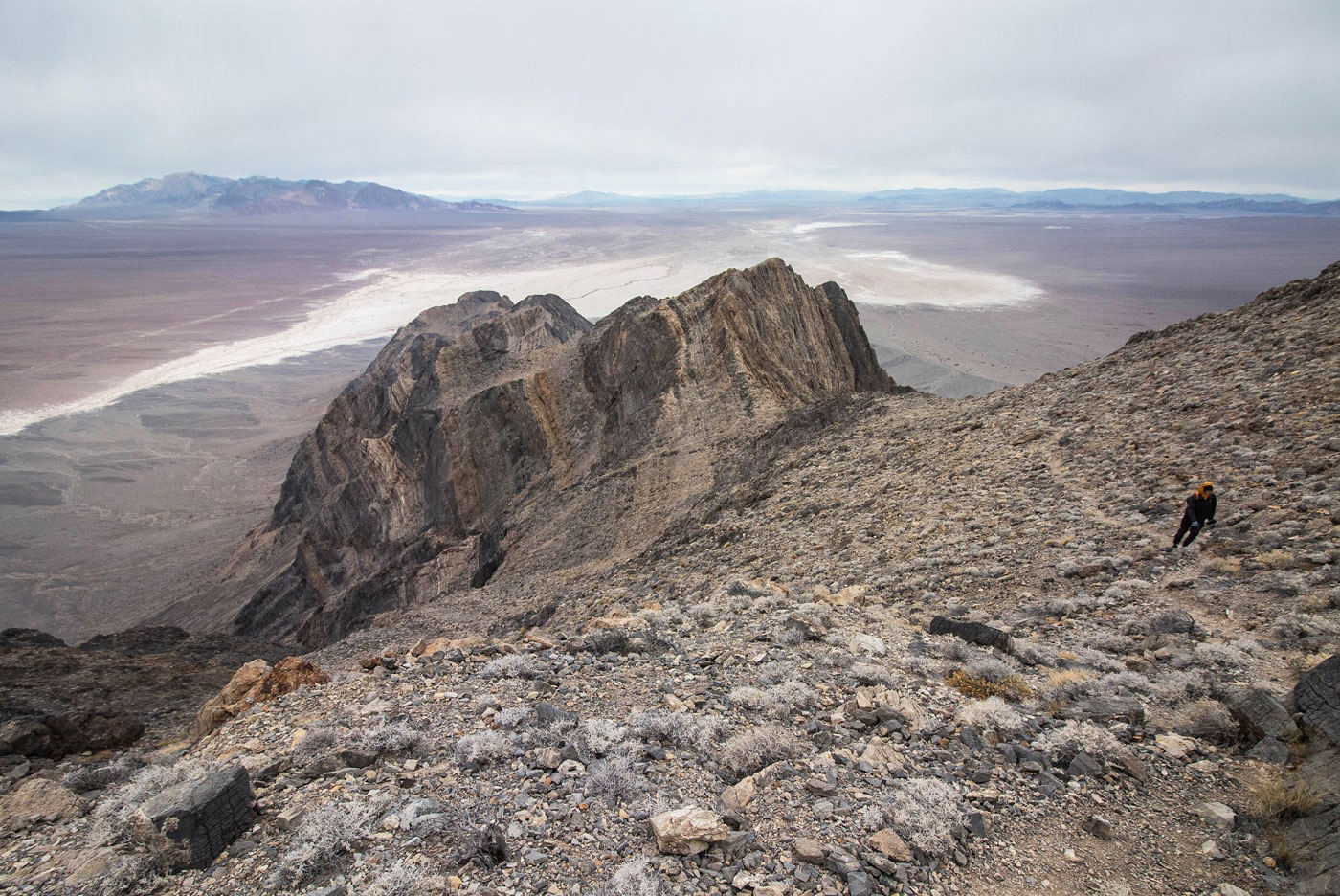
View down at our progress.
At the top of the slope, we headed to the right and dropped into the aforementioned left fork/gully.
View back as we curve around from the slope and down into the gully.
Class 2 up the gully. A social trail leads up toward the scary-looking cliffs in the center, but avoids them.
View back, we came from the right in this photo. The social trail was well-defined and I recommend making sure you get on it, or risk scrambling up scree.
Making progress out of the gully and up the Class 2 slope. Our route came from just below the cliffs in the center.
Social trail follows just below a cliff along the ridge. Make sure to stay on the right side (south) of the cliffs, even though at lease one social trail tries to bring you to the north side, where the terrain is really serious.
Approaching the Class 3 section.
Class 3 scramble.
Eagle Mountain summit.
Eagle Mountain summit, view north.
Close-up at the Class 3 scramble on the way back.
Hire me or show me some love!
Hire/refer me as a web developer or send me a few bucks if you find my site useful. I’m not sponsored, so all fees are out-of-pocket and my time preparing trip reports is unpaid. I really appreciate it!