

Starting out from the trailhead, East End seen on the left. Tom's Thumb visible on the right. The Tom's Thumb Trail leads through the foothills ahead and ascends the slope in the center.
After hiking through mostly flat desert, the Tom's Thumb Trail starts ascending.
View back as the trail switchbacks up the slope.
Cool granitic formations along the trail.
Tom's Thumb seen on the far right. The trail continues ascending to the left.
A flatter section before reaching a minor overlook.
At the minor overlook, where the Tom's Thumb Trail drops slightly to reach the saddle seen center.
However, once the trail drops, look for this social trail on the left to gain the summit of East End.
Light Class 2 up the slope, though I didn't lose the social trail as I ascended.
View back, Tom's Thumb seen top right.
Nearing the northern slope of East End.
Trail slightly steeper as it ascends the north slope of East End to gain the summit.
East End summit, view west toward Tom's Thumb (seen right of center).
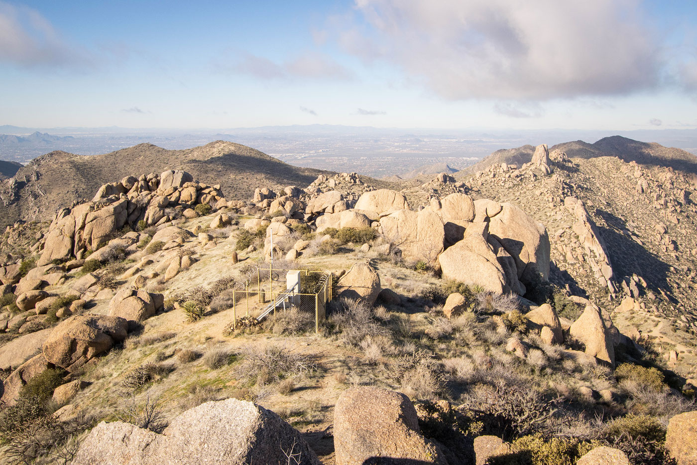
East End summit, view toward the McDowell Mountains. McDowell Peak see right, Thompson Peak center.
East End summit, view north.
Hire me or show me some love!
Hire/refer me as a web developer or send me a few bucks if you find my site useful. I’m not sponsored, so all fees are out-of-pocket and my time preparing trip reports is unpaid. I really appreciate it!