

Starting along the Pinnacles Trail.
Toll Mountain visible ahead. The signage is excellent.
Making my way along the Pinnacles Trail as it slowly ascends.
Casa Grande Peak visible above.
A pretty meadow. There were a couple like this.
Tedious switchbacks.
Higher up as I start entering more interesting terrain.
View back toward Casa Grande Peak.
Vernon Bailey Peak visible on the right.
Higher up as I ascend into the pinnacles.
Switchbacks up around pinnacles surrounding Toll Mountain.
At the saddle separating Toll Mountain from Emory Peak, a popular trail junction. Emory Peak is visible ahead.
Along the Emory Peak Trail.
Emory Peak visible ahead.
View back, Toll Mountain visible center. Crown Mountain poking out in the distance.
Close-up toward Toll Mountain, which I'll get to after Emory Peak.
Emory Peak ahead on the left.
Close-up back along the trail.
Approaching Emory Peak.
Class 2 before reaching the base of Emory Peak's summit block.
At the base of Emory Peak. Class 3 straight ahead, or Class 2 near the tree on the right.
Class 2/3 scramble up to Emory Peak.
Close-up back down the scramble.
Emory Peak summit, view northeast from the top of the scramble.
Emory Peak summit, close-up toward Toll Mountain (center) and Lost Mine Peak (top center), Casa Grande Peak (left), and Crown Mountain (right).
Emory Peak summit, view west.
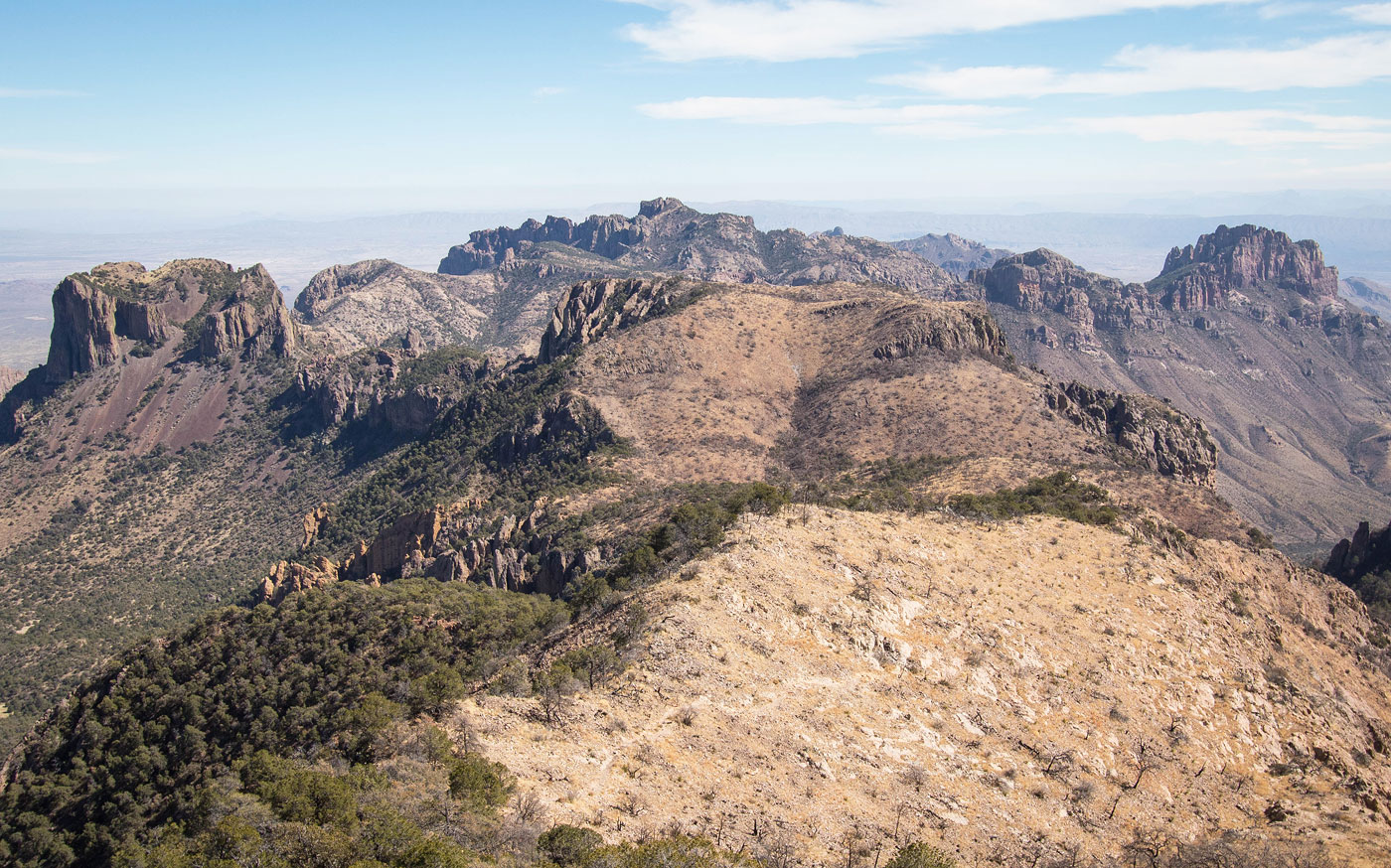
Emory Peak summit, wide shot looking north. Vernon Bailey far left, Casa Grande right of center, and Lost Mine Peak top right.
Emory Peak summit, view north toward Vernon Bailey Peak (left) and the Chisos Basin. You can see the lodge down there.
Emory Peak summit, view south toward the South Rim.
Close-up toward Picacho Peak (left of center). I'll be getting that guy tomorrow. ;)
Onward to Toll Mountain, seen ahead.
A short spur trail leading to the Toll Mountain Campsite. I passed a tent inhabiting the campsite and continued off-trail.
Steep, but not unpleasant terrain leading up Toll Mountain.
View back toward Emory Peak.
Along the ridgeline leading to Toll Mountain.
Toll Mountain summit, view down into Chisos Basin.
Toll Mountain summit, view toward Lost Mine Peak (left) and Crown Mountain (right).
Hire me or show me some love!
Hire/refer me as a web developer or send me a few bucks if you find my site useful. I’m not sponsored, so all fees are out-of-pocket and my time preparing trip reports is unpaid. I really appreciate it!