

Escudilla Mountain Trailhead.
Looking back along the trail, recently cleared.
Ascending the Escudilla Mountain Trail, a feature known as Profanity Ridge visible on the left.
Looking back through the meadows as we ascend.
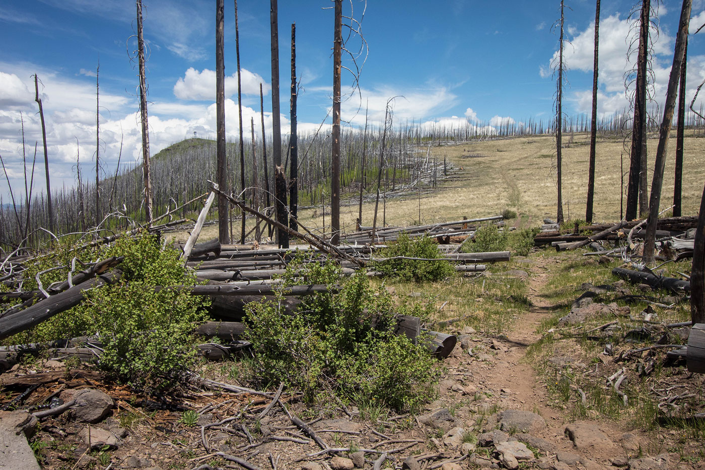
Escudilla Mountain lookout tower visible top left.
Continuing along the trail through more meadows.
Looking back the way we came, toward Profanity Ridge.
Lookout tower visible center.
Approaching the lookout tower and the end of the trail.
View from just below the lookout tower.
We left the trail a hundred feet or so from the lookout tower to head through deadfall to get to the true Escudilla Mountain high point.
Some parts were better than others.
Approaching Escudilla Mountain.
Escudilla Mountain, view back toward the lookout tower.
Hire me or show me some love!
Hire/refer me as a web developer or send me a few bucks if you find my site useful. I’m not sponsored, so all fees are out-of-pocket and my time preparing trip reports is unpaid. I really appreciate it!