I provide a free route map, but you can also download a hike/drive GPX to assist you and to help support my site. Before sharing my GPX tracks with others, please remember my site is a free resource and I'm charging nominal fees to offset my substantial costs.
GPX track added to your cart.
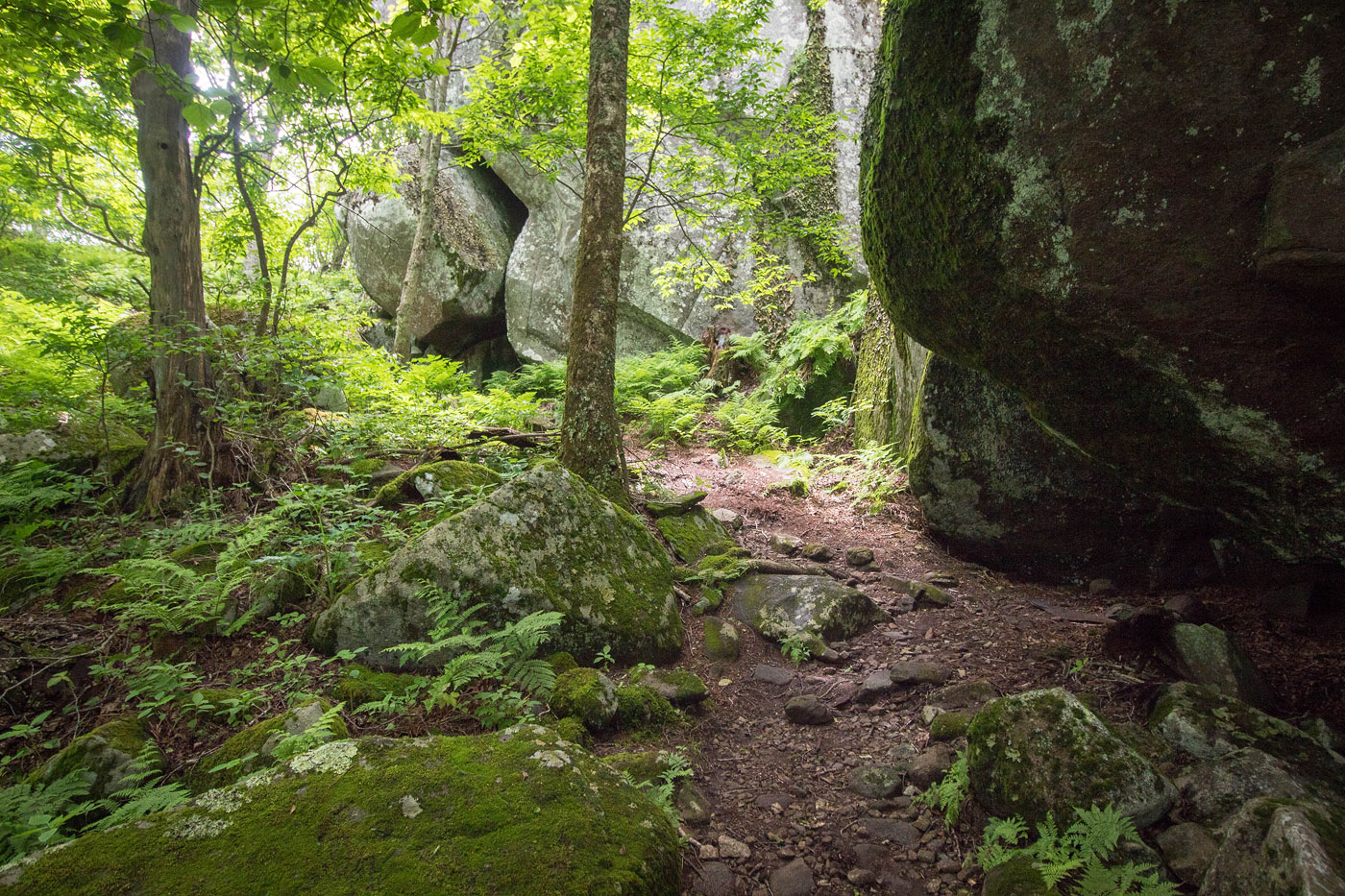
Jun 22, 2020 — Flat Top Mountain is an easily accessible trailhead along the Blue Ridge Parkway in Virginia at a paved parking lot. I started hiking along the trail, which begins pretty flat and really well-maintained. The Flat Top Mountain Trail then started zig-zagging up a bunch of forested switchbacks. It passed a trail junction a half mile before the summit and also passed a couple of pretty rock outcrops covered in mosses. Aside from some ferns and these boulders, there's nothing particularly of note along the hike, especially since there isn't even a sliver of a view. It's a nice stroll up a mountain.
Eventually I made it to the summit area, where a small cluster of boulders comprised the summit block. Flat Top Mountain is one of the three "Peaks of Otter". I also visited Sharp Top Mountain, another of these three named peaks, which pairs nicely with Flat Top Mountain.
Please consider helping me out if you find my site useful. I'm not sponsored, so all site fees are out-of-pocket and my time preparing these trip reports is unpaid. You can also hire me as a web developer. I really appreciate it!


If you find my site helpful, please help me replace my many broken cameras, fund my website fees (hosting, APIs, security), or just support my countless hours of work. I pay for all expenses myself, and all trip reports I post are unpaid and unsponsored, so any support is really appreciated!
If using PayPal, please select their option for "Sending to a friend" so they don't take out fees, thank you.
My site is free to use, but consider sending me a few bucks to help keep it running. Thanks in advance!