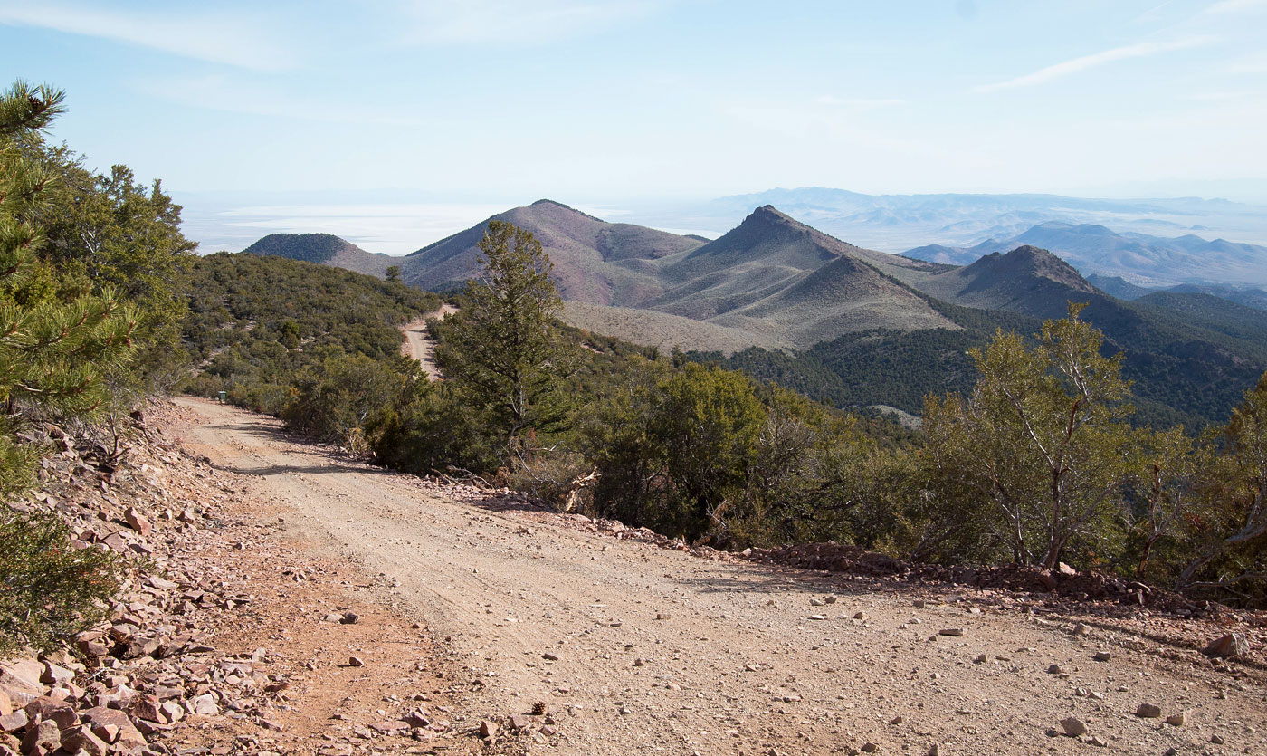


View along the road.
Looking back as I ascend the steeper section of the road. Really my car could have made it to the summit, but I wanted some exercise.
Another shot looking back. My car is down on the left somewhere.
Continuing south along the north ridge of Frisco Peak.
View back.
Another shot back as I make my way up to Frisco Peak.
Summit becomes visible up on the top left.
Approaching the summit.
View back just below the summit.
Frisco Peak summit.
Frisco Peak summit, view north.
Frisco Peak summit, view south.
Hire me or show me some love!
Hire/refer me as a web developer or send me a few bucks if you find my site useful. I’m not sponsored, so all fees are out-of-pocket and my time preparing trip reports is unpaid. I really appreciate it!