

Greens Peak ahead, visible from where we parked. You could drive up, but we wanted to hike.
Looking back along the good dirt road.
Greens Peak ahead.
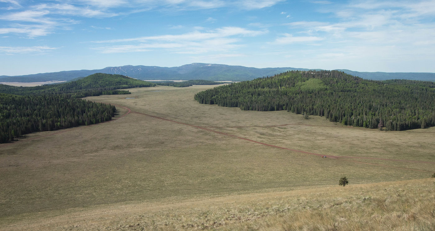
Escudilla Mountain visible in the distance.
Greens Peak summit.
Close-up of the road we used to drive in.
Shot of Greens Peak as we drove away. It's a big lump.
Hire me or show me some love!
Hire/refer me as a web developer or send me a few bucks if you find my site useful. I’m not sponsored, so all fees are out-of-pocket and my time preparing trip reports is unpaid. I really appreciate it!