Hike Hallett Peak and Otis Peak via Flattop Mountain and Andrews Glacier Rocky Mountain National Park, CO


Starting along the Bear Lake Trail.
Headed up the Flattop Mountain Trail.
Overlook along the Flattop Mountain Trail toward Dream Lake.
Flattop Mountain Trail gets above treeline. That's looking back, toward Longs Peak (center).
Overlook along the Flattop Mountain Trail toward Emerald Lake.
Looking back down the Flattop Mountain Trail.
Approaching what's marked as Flattop Mountain on a map, but it's not obvious where the high point is. I don't even think this is a mountain. It's just kind of a junction where trails meet. That's Hallett Peak on the left.
Hallett Peak ahead.
Looking back toward the Flattop Mountain Trail. As you can see, there's no obvious bump showing what Flattop Mountain even is.
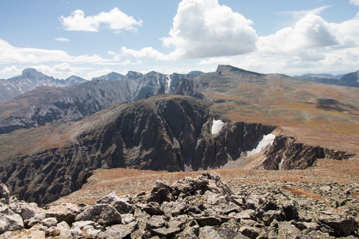
Hallett Peak summit, looking toward my ridgeline. Otis Peak center, Taylor Peak visible on right center at the horizon, Longs Peak far left.
Headed along the ridge to Otis Peak.
Sign warning about glacier danger.
Headed up to Otis Peak, looking back toward Hallett Peak.
Otis Peak summit ahead.
Otis Peak, looking toward Taylor Peak (center). You can see Andrews Glacier on the right.
Close-up of Andrews Glacier on the way down.
Andrews Glacier.
Descend the south side of Andrews Glacier.
Looking back toward Andrews Glacier.
Continuing down the Andrews Glacier Trail.
Looking up toward the pass just below Andrews Glacier (right).
Passing Loch Lake.
Loch Lake.
Alberta Falls.
Hire me or show me some love!
Hire/refer me as a web developer or send me a few bucks if you find my site useful. I’m not sponsored, so all fees are out-of-pocket and my time preparing trip reports is unpaid. I really appreciate it!