

Starting up Cottonwood Wash.
A short Class 2 dryfall within Cottonwood Wash.
Interesting colors within Cottonwood Wash.
A short narrow section in Cottonwood Wash. Shortly past here is the turn-off on the right.
A colorful section.
The minor drainage that leads southwest away from Cottonwood Wash. The trail is difficult to follow here at first, but then it becomes easier as it leads into the hills.
If you stick to the trail, the next few photos show some of the terrain you'll encounter. There's a social trail much of the way. This is a view back along the trail.
Class 2 on a loose slope.
The trail drops into a minor wash.
Another Class 2 section before the trail continues up to the ridge.
Alternatively, if you want to tack on Jacal Peak (purple "not a trail" on my attached map) instead of following the social trail, this is looking up our chosen wash/slope we chose.
Views east along the ridge on the way to Jacal Peak. The views are similar from the Hamblin Mountain Trail, so you're not missing out if you choose to stick to the standard route. Muddy Mountains visible top left.
Last bit of the slope gets steep to Jacal Peak.
Some Class 2 to gain the ridgeline up to Jacal Peak.
Ridgeline leading to Jacal Peak.
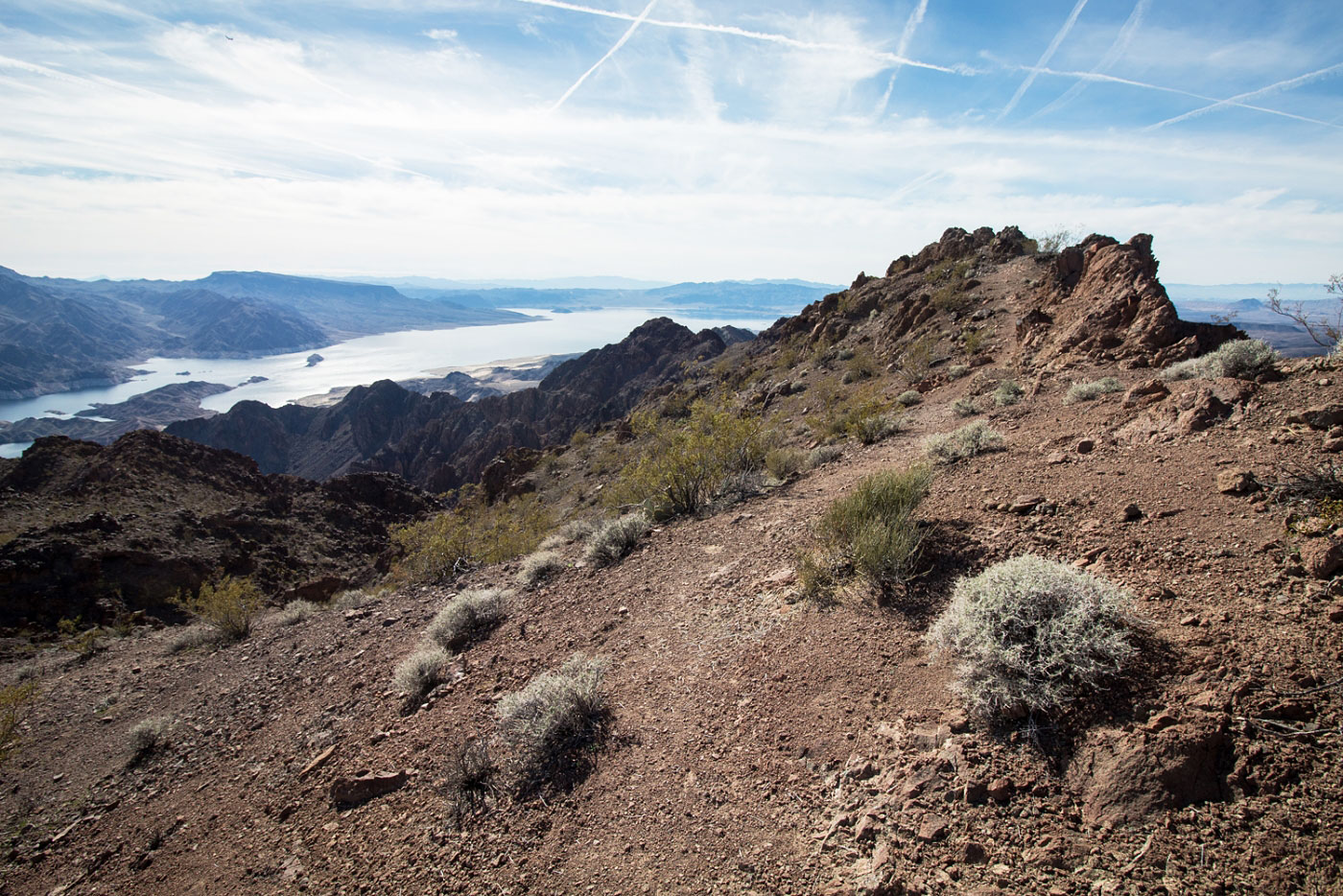
Jacal Peak summit, looking south toward Lake Mead.
Along the ridgeline to Hamblin Mountain. Ahead we rejoin the standard trail route to Hamblin Mountain.
Headed toward Hamblin Mountain along the trail, Jacal Peak seen in the background.
Hamblin Mountain ahead.
Hamblin Mountain summit, looking west toward West Hamblin Mountain.
Class 2 to the Hamblin Mountain West ridge.
View looking back toward Hamblin Mountain on the ridgeline to Hamblin Mountain West.
Hamblin Mountain West summit, a Class 2 scramble away. Keeping to the ridge crest here makes you do a Class 3 move, so keep just to the left to keep it easier.
Approaching the Hamblin Mountain West summit, looking north toward the ridgeline we'd use to descend.
Hamblin Mountain West summit, looking south. Auxiliary Point visible in the center out there.
On the way down from Hamblin Mountain West. We chose to take the south ridge to make the day a loop.
Looking back up toward Hamblin Mountain West (top right).
Hamblin Mountain West south ridge.
Hamblin Mountain West top right, a sub-peak of Hamblin Mountain visible on the left.
Gully leading down from the ridge. We beelined to the saddle in the center of this photo. Hamblin Butte is the hill to the saddle's left.
Looking back up the Class 2 gully.
Approaching the saddle.
Top of the saddle, looking northeast toward the open desert we'd traverse to get back to the car. Muddy Mountains visible in the distance.
Hire me or show me some love!
Hire/refer me as a web developer or send me a few bucks if you find my site useful. I’m not sponsored, so all fees are out-of-pocket and my time preparing trip reports is unpaid. I really appreciate it!