

Starting toward Hart Peak (left).
Scramble up to the weakness in Hart Peak.
Some Class 2+ stuff.
Looking back down on the way up Hart Peak.
Hart Peak, looking south along the ridge. The high point (end of my traverse) is visible way out there.
Heading down from Hart Peak.
Some interesting rock stuff coming down from Hart Peak.
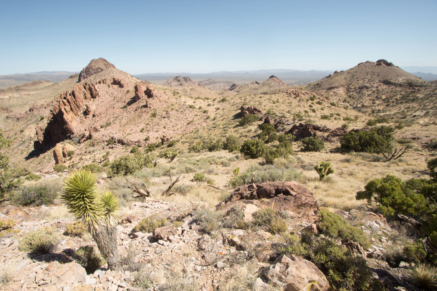
A sub-peak along the ridgeline.
Looking back toward Hart Peak.
Sub-peak, looking along the ridge.
Looking back, Hart Peak on the far left.
Looking back, Hart Peak the bump op the left.
Another sub-peak coming up, known as Castle Mountain.
Summit of this sub-peak, Castle Mountain, looking back toward Hart Peak (left bump).
Castle Mountain looking toward Linder Peak (Castle Mountains High Point) (rightmost peak). Mini Class 2+ scramble on the way down from this sub-peak.
Looking back toward Castle Mountain.
Linder Peak on the right.
Castle Mountains High Point, Linder Peak.
Scree-covered ascent to Linder Peak. Kind of sucked.
A social trail appeared somehow.
Still crap.
Looking down the awful scree toward the ridgeline I just came from. Hart Peak is the far bump in the middle.
Approaching the Linder Peak summit.
Linder Peak looking south toward a mining operation.
Linder Peak looking north along the ridge.
An old dirt road leads from just below Linder Peak all the way back.
Looking back toward Linder Peak.
Follow this road back. Hart Peak is visible center here.
Old mining stuff I assume. Linder Peak peeking over on the right.
Hire me or show me some love!
Hire/refer me as a web developer or send me a few bucks if you find my site useful. I’m not sponsored, so all fees are out-of-pocket and my time preparing trip reports is unpaid. I really appreciate it!