

Starting from the unmarked trailhead, view toward Hilgard Mountain.
I followed the Great Western Trail along doubletrack, passing through this gate.
The Great Western Trail was a bit difficult to follow at times, but I mostly stuck to doubletrack when I could locate it. The singletrack seemed to be just animal trails.
The Great Western Trail heads through tree groves and meadows.
Ascending to the saddle on the south side of Mount Hilgard, left of center.
View back after relocating the Great Western Trail.
Still on the Great Western Trail, view back.
Ascending to the saddle, center.
View back, Mount Marvine (top left) and Mount Terrill (top right) in the distance.
Great Western Trail leads through some forest before reaching the saddle.
The remains of the Great Western Trail within the forest.
At the saddle, heading north after leaving the Great Western Trail.
Some Class 2 boulder-hopping.
View back toward the saddle I ascended from (center in the trees).
Much of the first part of the ascent from the saddle looked like this.
But then the terrain became nice and grassy and a relatively mild grade.
Ascending to Hilgard Mountain along its south ridge.
Another shot back along the ridge.
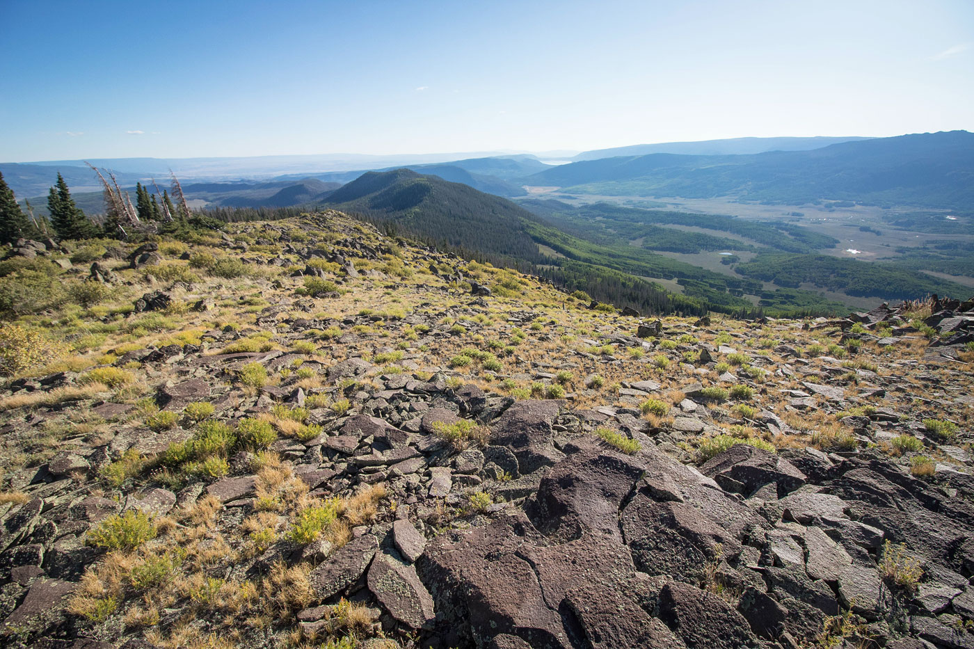
Wider shot looking back, Fish Lake visible in the distance.
Approaching Hilgard Mountain.
Hilgard Mountain summit in the center.
View southeast from Hilgard Mountain.
Hilgard Mountain, view south.
Hilgard Mountain summit, view east toward the desert below.
View north from the summit. The standard route comes up from this direction. I was happy I went the way I did instead.
Hire me or show me some love!
Hire/refer me as a web developer or send me a few bucks if you find my site useful. I’m not sponsored, so all fees are out-of-pocket and my time preparing trip reports is unpaid. I really appreciate it!