

Starting up an ATV road.
The ATV road fades away pretty much completely and I kept ascending via the remaining wash.
View back along the gravel wash.
The wash narrows into a drainage. I left when it and ascended a slope instead when the drainage got about this narrow and tree-choked.
Ascending the steep slope. Horse Benchmark is up there on the right.
Minor Class 2 along my ascent.
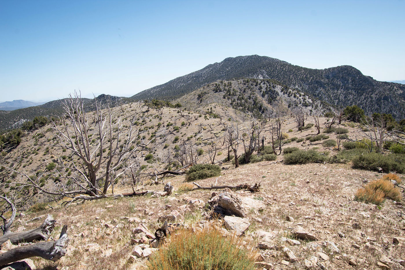
View back, Charleston Peak visible top right, McFarland center, and Willow Peak left.
Class 2 and some light bushwhacking to Horse Benchmark.
At the south saddle of Horse Benchmark, Class 2 to its summit.
Horse Benchmark, view south. Pahrump is on the right.
Horse Benchmark summit, view north. Spring Peak on the left, Wheeler Benchmark on the right.
Class 2 (kind of annoying) descent from Horse Benchmark along the ridgeline. Spring Peak visible top enter.
View along the descent from Horse Benchmark.
The unpleasant section was short-lived. Easy, quick descent for a bit. You can see the pretty clearing I was excited for in the center of this photo.
View back toward Horse Benchmark.
Spring Peak top left.
Emerging from the forest onto a cleared section of ridgeline.
Wild horses!
View back toward Horse Benchmark.
Continuing along the ridge crest. Spring Peak visible top left.
Close-up toward Willow, McFarland.
Close-up toward Spring Peak (top left) and the rock outcrop obstacle to come (center).
Along the pretty ridgeline.
View back along the ridgeline toward Horse Benchmark.
Continuing along the ridge crest.
View north toward Pahrump.
Another shot back toward Horse Benchmark. I really liked this ridgeline.
The clear section ended and I was back in the forest. Steep slope visible ahead leading to the rock outcrop obstacle (top right). Spring Peak visible top center.
Along the Class 2 ascent to the rock outcrop, view back.
Light scree on the ascent to the rock outcrop.
View back toward my progress along the ridge.
The rock outcrop obstacle is above on my right. I chose to keep to its left and navigate this tricky terrain (Class 2+). You can likely find an easier way by ascending it, but I don't know for sure.
Past the rock outcrop, more forest walking.
View back toward the rock outcrop. Horse Benchmark visible top right. Ascending somewhat steeply to Spring Peak.
Spring Peak ahead. It gets a little brushy from here to the summit.
Pretty much the worst of the brush. It's not bad, just requires a bit of zig-zagging.
Some light talus on the east side of the ridge crest before Spring Peak.
I recommend staying to the east of the crest within the trees to avoid unnecessary Class 2.
A reprieve from the forest along the crest leading to Spring Peak, view back toward Horse Benchmark.
Spring Peak summit, basically no views.
Continuing along the ridgeline to North Spring Peak, visible center. I reached it by ascending to the rock outcrop, following it to the right, and locating a Class 2 ascent option.
North Spring Peak, view toward Spring Peak (center) and Horse Benchmark (top right). Charleston Peak visible top left.
North Spring Peak summit, view toward Wheeler Benchmark.
Close-up toward McFarland (left) and Charleston (right).
Descending from the saddle of Spring Peak and North Spring Peak.
The drainage is overall fine, with some obstacles.
Descending, view back at the slope.
A little brushy, but nothing crazy.
Still descending. It's not interesting.
The terrain becomes flat and requires some light bushwhacking and tree-dodging. It lasts longer than I would have liked.
Eventually I made it to Wheeler Pass Road.
Wheeler Pass Road, view toward Wheeler Pass (center blocked by trees).
Charcoal Kilns, a landmarked along the road.
Hire me or show me some love!
Hire/refer me as a web developer or send me a few bucks if you find my site useful. I’m not sponsored, so all fees are out-of-pocket and my time preparing trip reports is unpaid. I really appreciate it!