

Trailhead for Hot Springs Mountain.
Starting along the dirt road.
View back down shortly after the road ascends more steeply.
Continuing along the Hot Springs Mountain Trail, labeled Sukat Road on maps.
The trail continues ascending steeply to the hills above.
View back at my progress.
Another shot back after the first couple of miles, the steepest of the hike.
Then the Sukat Trail continues more casually through the forest.
There were a couple of marked trail junctions along the way.
It was a few miles of this. Not super fun. There are portions where the trail/road dips in elevation and regains the lost vertical feet.
A short open section.
View back at the open section before the final ascent.
More forest walking.
View back as I make the last few hundred feet to the summit tower.
Summit tower of Hot Springs Mountain seen ahead.
The tower isn't the high point, though. A trail continues from the end of the road through the forest.
The trail was not very long, but certainly my favorite part of the hike.
The summit block of Hot Springs Mountain. A ladder and rope have been placed on the west side.
A view down at the easier, Class 2/3 alternative option for reaching the summit.
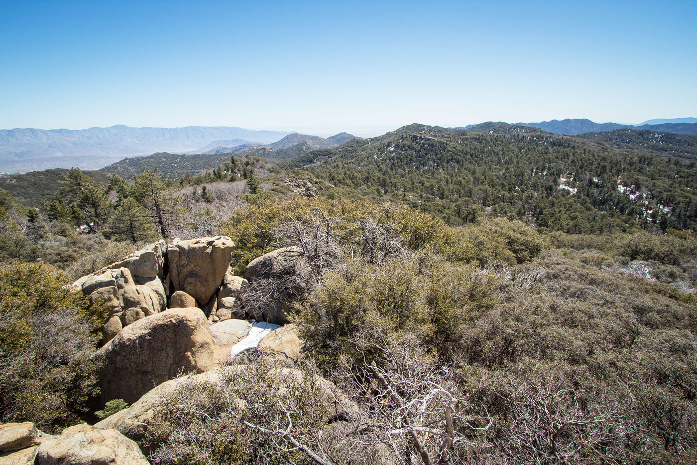
Hot Springs Mountain, view west.
Hot Springs Mountain, view east.
Hot Springs Mountain summit block seen from the Class 2/3 route option.
Hire me or show me some love!
Hire/refer me as a web developer or send me a few bucks if you find my site useful. I’m not sponsored, so all fees are out-of-pocket and my time preparing trip reports is unpaid. I really appreciate it!