

From the trailhead, following the remains of an old road.
Emerging from the forest and into the morning glow on Oak Knob (the minor knob on the way to Huckleberry Knob). Huckleberry Knob visible on the left.
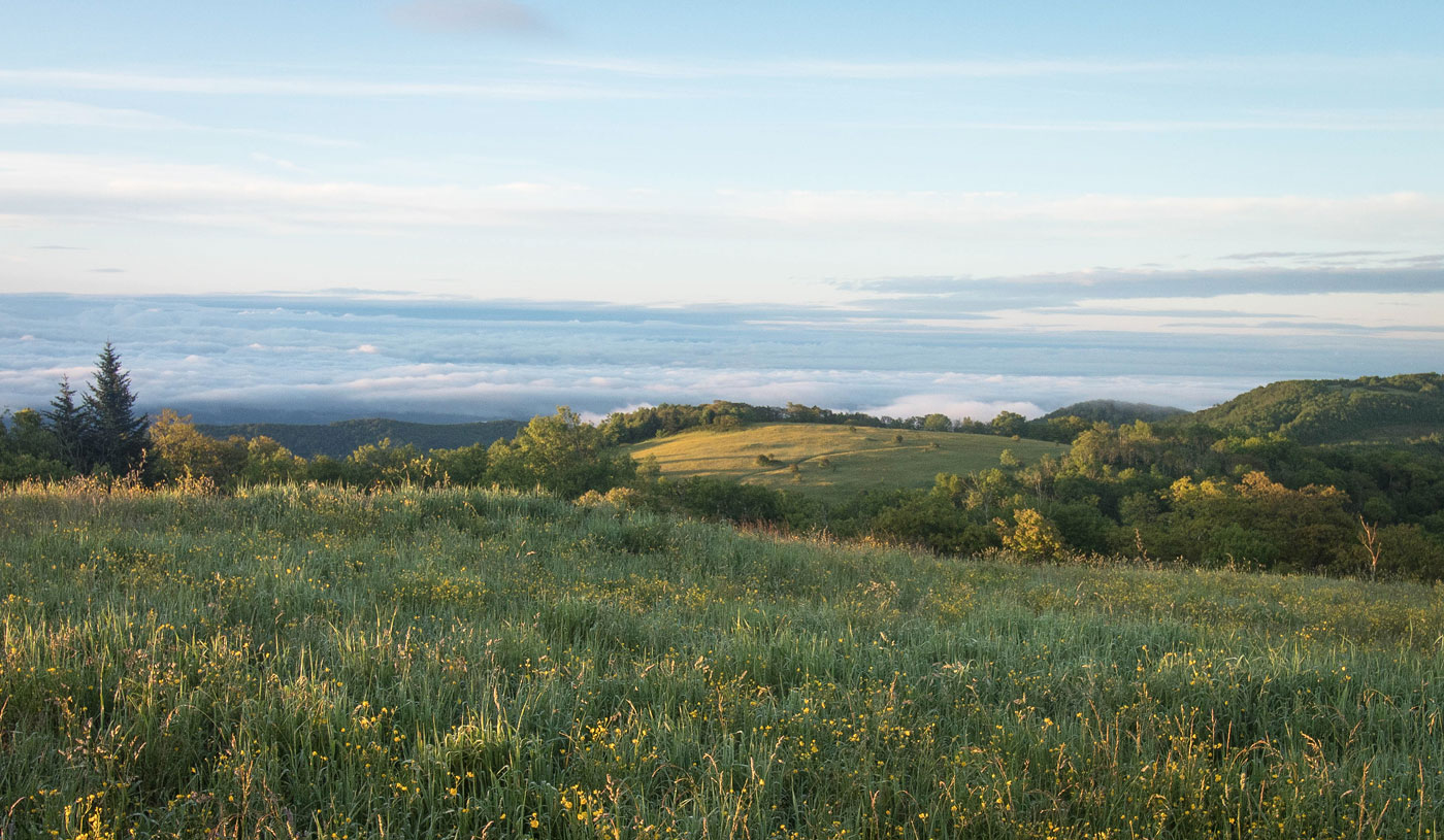
Descending from Oak Knob toward Huckleberry Knob.
Looking back up Oak Knob.
Looking back toward Oak Knob.
Short forested section on the way to Huckleberry Knob.
Ascending to Huckleberry Knob.
Views from Huckleberry Knob.
Huckleberry Knob.
So little work for so much pretty!
Hire me or show me some love!
Hire/refer me as a web developer or send me a few bucks if you find my site useful. I’m not sponsored, so all fees are out-of-pocket and my time preparing trip reports is unpaid. I really appreciate it!