

I started hiking along the bad dirt road, heading to the official Huron Peak Trailhead.
Along the dirt road on my way.
Huron Peak Trailhead.
Heading up the trail.
Switchbacks up the west slope of Huron Peak.
Progress up the Huron Peak Trail, leaving timberline.
View back along the Huron Peak Trail as the trail begins to mellow out about halfway up for a short time.
Huron Peak ahead on the right. The trail leads up to the saddle in the center before ascending the ridge to the summit.
View back toward a pretty little tarn as I start ascending the second half to the summit.
Pleasant trail to the saddle on Huron Peak's north side.
View back at the reprieve along the trail, plus the cute little tarn.
Ascending to the saddle.
Northern saddle, view toward the ridgeline leading to Huron Peak.
View back along Huron Peak's south slope, view toward the traverse to come. The official trail came up on the left in this photo.
Some Class 2 to Huron Peak's summit.
Huron Peak, view south.
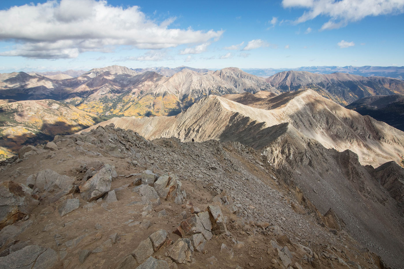
Huron Peak, view east.
Huron Peak, view north. I headed more or less along the crest visible right of center. Browns Peak visible center.
Back at the saddle on Huron Peak's north side, I continued off the trail and along the ridge.
View back along the crest toward Huron Peak. You can see the trail on the right in this photo.
Along the Class 2 ridge crest. Browns Peak visible left, Peak 13462 on the right.
View back again along the crest toward Huron Peak.
Browns Peak, view toward Peak 13462. You can also see the old mining road I'll be using to descend later on the far left.
Ascending Peak 13462, view back toward Browns Peak (right) and Huron Peak (left of center).
Peak 13462, view toward Middle Mountain.
Approaching Middle Mountain.
Middle Mountain summit, view back along the crest. Huron Peak is poking put right of center. I started descending Middle Mountain's northwest ridge and located an old mining road I'd use to descend from the ridgeline.
Along the old mining road that switchbacks into the basin below. Visible top center is Browns Peak.
Descending the old mining road.
View back up the mining road toward the ridge I traversed above.
I descended the mining road back to my car.
Hire me or show me some love!
Hire/refer me as a web developer or send me a few bucks if you find my site useful. I’m not sponsored, so all fees are out-of-pocket and my time preparing trip reports is unpaid. I really appreciate it!